Transport Functions
Multimodal
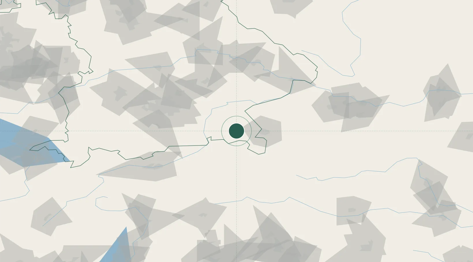
Hub Profile
Place type
Populated place
Region
Bavaria
Time zone
Europe/Berlin
Elevation
630 m
Location
Nearby Logistics Neighbours
Cities
- 1Siegsdorf3 km
- 2Grabenstätt6 km
- 3Bayern7 km
- 4Nussdorf9 km
- 5Übersee11 km
Ports
- 1Nogaro233 km
- 2Monfalcone237 km
- 3Grado241 km
- 4Trieste256 km
- 5Muggia262 km
Airports
- 1Salzburg Airport29 km
- 2Munich Airport86 km
- 3Landshut Airfield89 km
- 4Oberpfaffenhofen Airport104 km
- 5Altstetten Ultralight Field113 km
Trade Zones
- 1Freeport of Deggendorf117 km
- 2Livigno Free Trade Zone238 km
- 3Free Port of Trieste256 km
- 4Free Port of Venice266 km
- 5Podbořany Industrial Zone274 km
DatabookThe Record of Consolidated Knowledge
Germany beyond logistics?