UN/LOCODE hub · Germany
DENYS

Nussdorf

47.9000°, 12.6000°
2,475
Population
1
Transport functions

Transport Functions

Multimodal
UN/LOCODE

Hub Profile

Place type
Local administrative seat
GeoNames
Region
Bavaria
GeoNames
Population
2,475
GeoNames
Time zone
Europe/Berlin
GeoNames
Elevation
597 m
GeoNames

Location

Location of DENYS
Natural Earth 10m (public domain) · Bavaria · DENYS · 47.90, 12.60GoogleOSMYandex

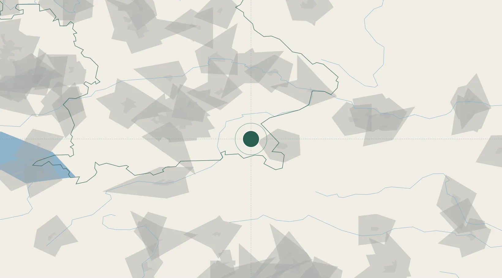
Nearby Logistics Neighbours

Cities
  1. 1Traunreut7 km
  2. 2Grabenstätt7 km
  3. 3Sankt Georgen (Traunreut)8 km
  4. 4Siegsdorf8 km
  5. 5Truchtlaching9 km
Nearest neighbours — logibook spatial index (haversine) over the source coordinates
Ports
  1. 1Nogaro242 km
  2. 2Monfalcone246 km
  3. 3Grado251 km
  4. 4Trieste265 km
  5. 5Muggia271 km
Nearest neighbours — logibook spatial index (haversine) over the source coordinates
Airports
  1. 1Salzburg Airport32 km
  2. 2Munich Airport79 km
  3. 3Landshut Airfield80 km
  4. 4Oberpfaffenhofen Airport100 km
  5. 5Altstetten Ultralight Field108 km
Nearest neighbours — logibook spatial index (haversine) over the source coordinates
Trade Zones
  1. 1Freeport of Deggendorf108 km
  2. 2Livigno Free Trade Zone243 km
  3. 3Podbořany Industrial Zone265 km
  4. 4Free Port of Trieste266 km
  5. 5Free Port of Venice275 km
Nearest neighbours — logibook spatial index (haversine) over the source coordinates
DatabookThe Record of Consolidated Knowledge
Germany beyond logistics?
Browse databook

All Sources

LocationsUN/LOCODE
UN/LOCODE — free
LocationsGeoNames
CC BY 4.0
Portsthe NGA World Port Index
Public domain (US gov)
AirportsOurAirports
Public domain
Trade Zonesthe World Bank SEZ database
CC BY 4.0
Trade ZonesOpen Zone Map
CC BY
← Germany locations