Transport Functions
Rail
Road
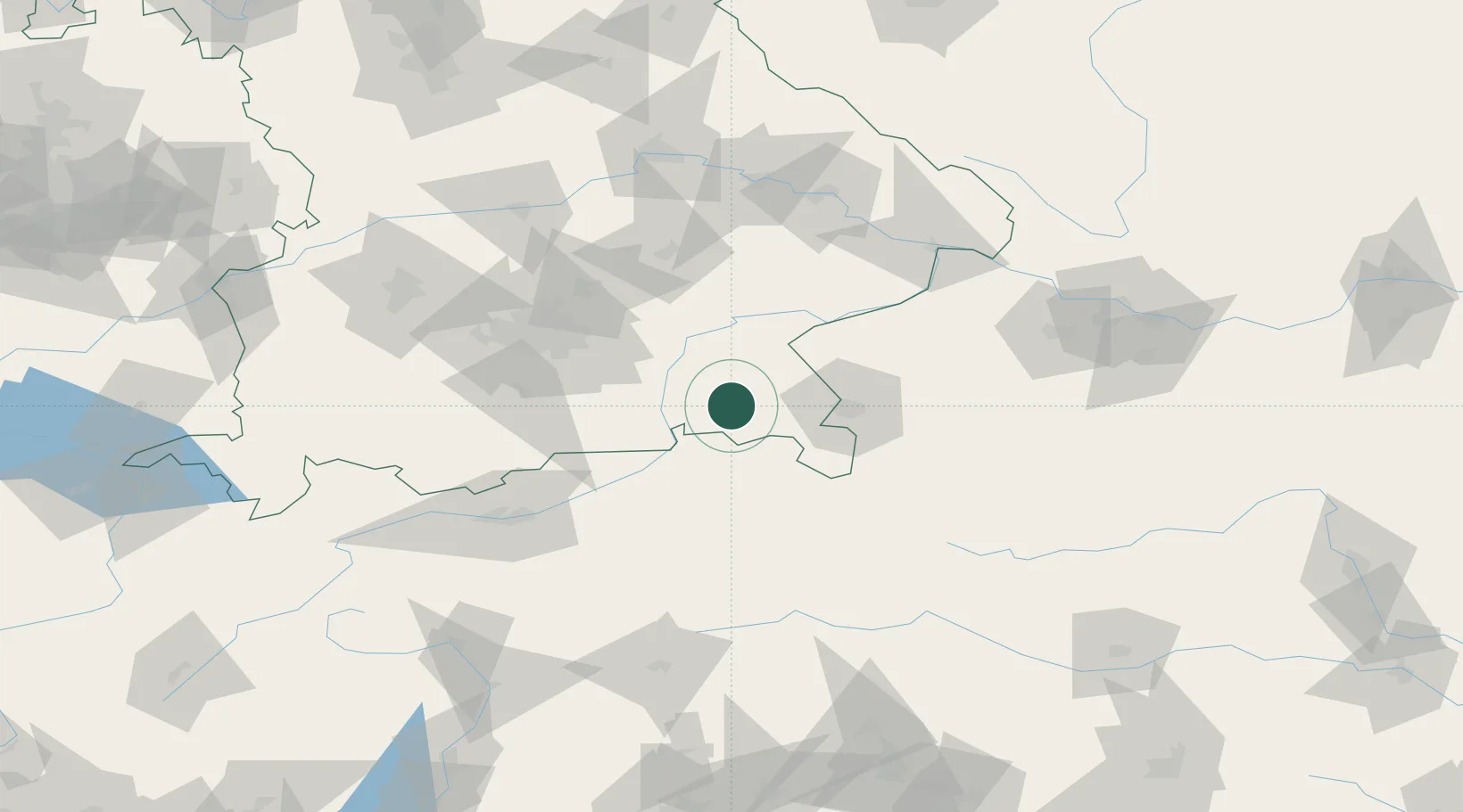
Hub Profile
Place type
Local administrative seat
Region
Bavaria
Population
4,896
Time zone
Europe/Berlin
Elevation
525 m
Location
Nearby Logistics Neighbours
Cities
- 1Bayern5 km
- 2Grabenstätt7 km
- 3Adelholzen11 km
- 4Prien/Chiemsee11 km
- 5Rimsting12 km
Ports
- 1Nogaro235 km
- 2Monfalcone241 km
- 3Grado244 km
- 4Trieste260 km
- 5Muggia266 km
Airports
- 1Salzburg Airport40 km
- 2Munich Airport78 km
- 3Landshut Airfield84 km
- 4Oberpfaffenhofen Airport93 km
- 5Altstetten Ultralight Field103 km
Trade Zones
- 1Freeport of Deggendorf119 km
- 2Livigno Free Trade Zone229 km
- 3Free Port of Trieste261 km
- 4Free Port of Venice266 km
- 5Consorzio Zona Industriale e Porto Fluviale di Padova273 km
DatabookThe Record of Consolidated Knowledge
Germany beyond logistics?