Transport Functions
Rail
Road
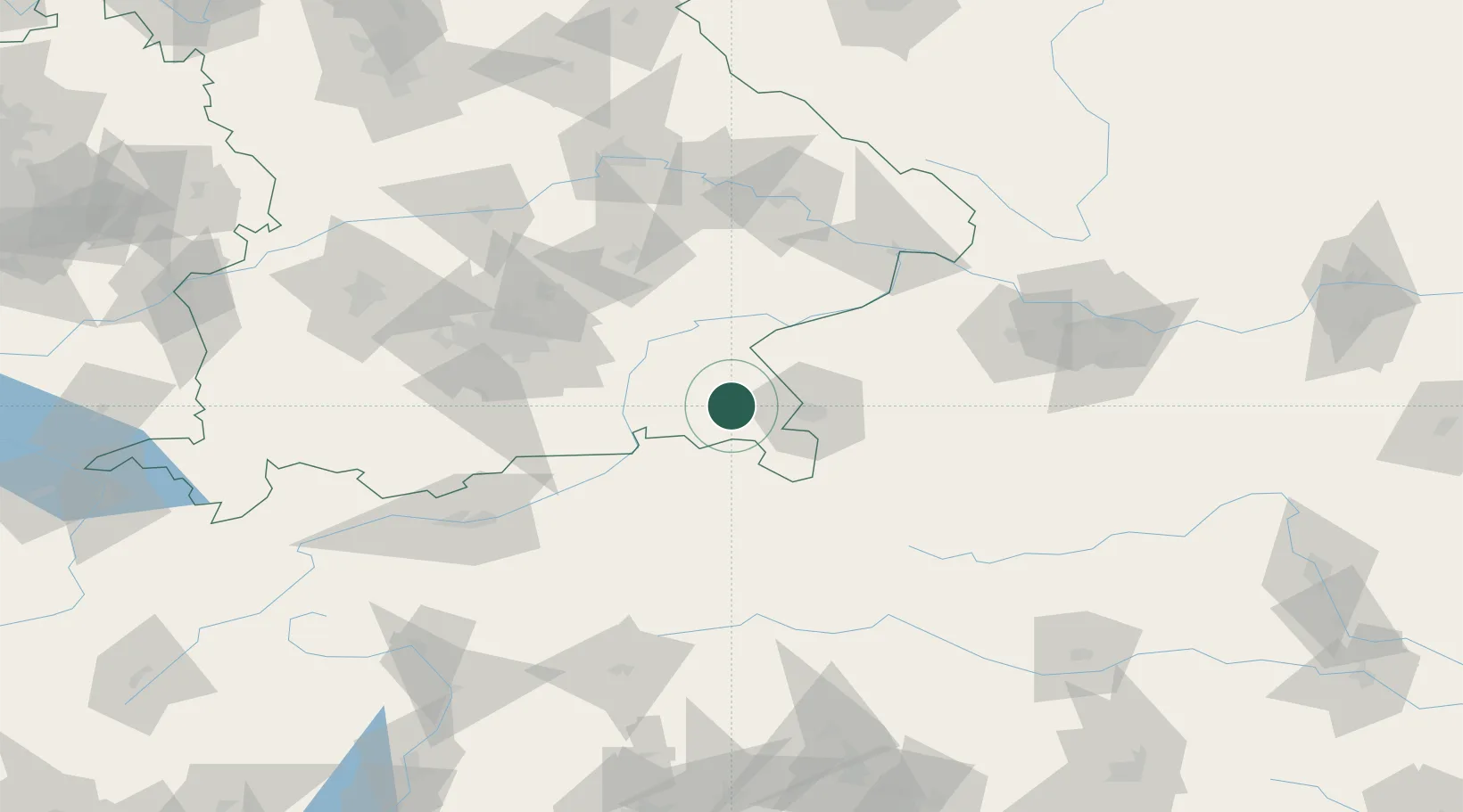
Hub Profile
Place type
Local administrative seat
Region
Bavaria
Population
8,230
Time zone
Europe/Berlin
Elevation
605 m
Location
Nearby Logistics Neighbours
Cities
- 1Adelholzen3 km
- 2Grabenstätt8 km
- 3Nussdorf8 km
- 4Bayern10 km
- 5Übersee14 km
Ports
- 1Nogaro234 km
- 2Monfalcone238 km
- 3Grado243 km
- 4Trieste257 km
- 5Muggia263 km
Airports
- 1Salzburg Airport27 km
- 2Munich Airport86 km
- 3Landshut Airfield88 km
- 4Oberpfaffenhofen Airport106 km
- 5Altstetten Ultralight Field114 km
Trade Zones
- 1Freeport of Deggendorf114 km
- 2Livigno Free Trade Zone241 km
- 3Free Port of Trieste257 km
- 4Free Port of Venice268 km
- 5Podbořany Industrial Zone272 km
DatabookThe Record of Consolidated Knowledge
Germany beyond logistics?