Transport Functions
Road
Multimodal
Hub Profile
Place type
Local administrative seat
Region
Bavaria
Population
4,152
Time zone
Europe/Berlin
Elevation
522 m
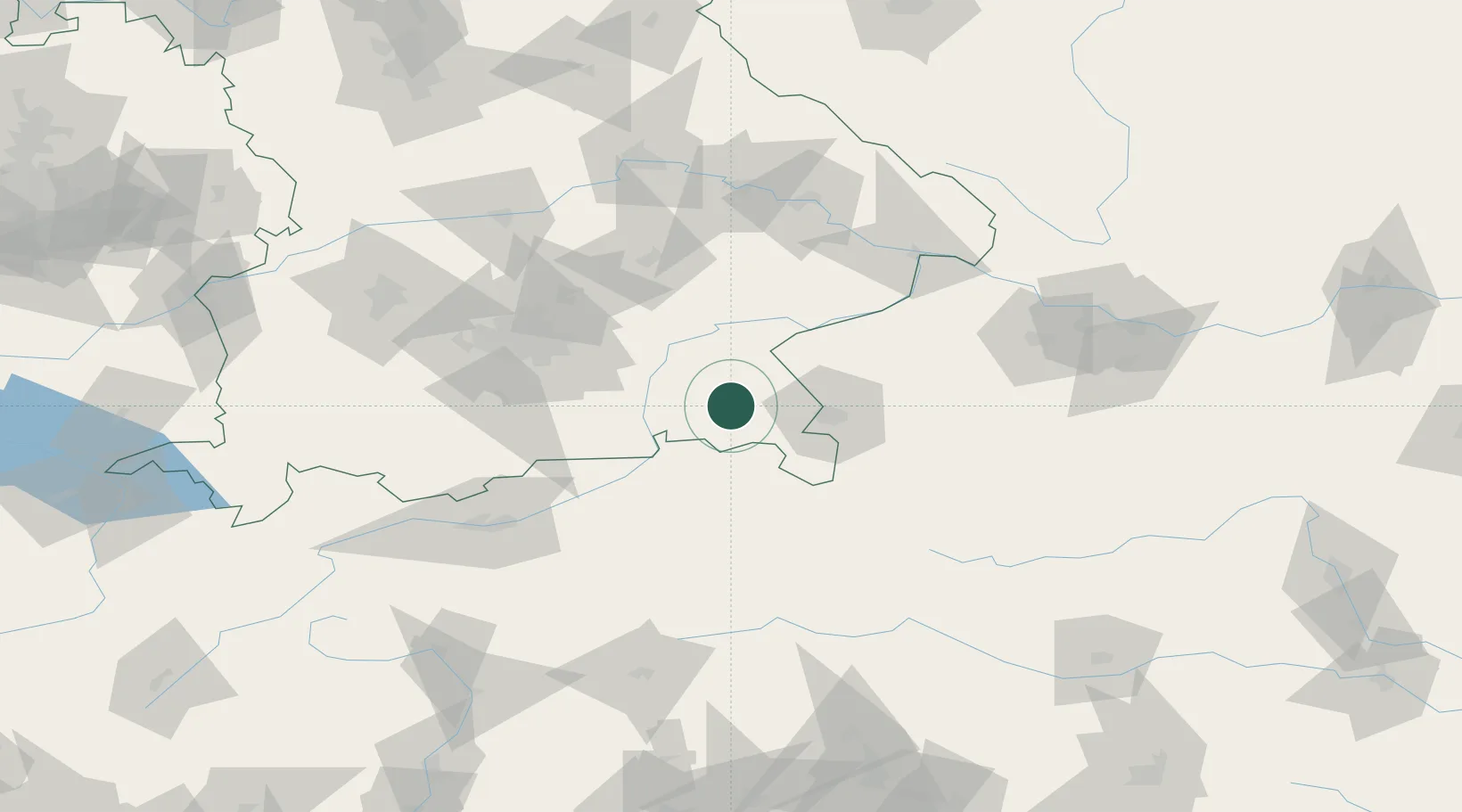
Location
Nearby Logistics Neighbours
Cities
- 1Bayern6 km
- 2Adelholzen6 km
- 3Nussdorf7 km
- 4Übersee7 km
- 5Siegsdorf8 km
Ports
- 1Nogaro237 km
- 2Monfalcone242 km
- 3Grado246 km
- 4Trieste261 km
- 5Muggia267 km
Airports
- 1Salzburg Airport35 km
- 2Munich Airport80 km
- 3Landshut Airfield83 km
- 4Oberpfaffenhofen Airport98 km
- 5Altstetten Ultralight Field107 km
Trade Zones
- 1Freeport of Deggendorf114 km
- 2Livigno Free Trade Zone236 km
- 3Free Port of Trieste262 km
- 4Free Port of Venice270 km
- 5Podbořany Industrial Zone272 km
DatabookThe Record of Consolidated Knowledge
Germany beyond logistics?