Transport Functions
Road
Multimodal
Hub Profile
Place type
Populated place
Region
Bavaria
Time zone
Europe/Berlin
Elevation
534 m
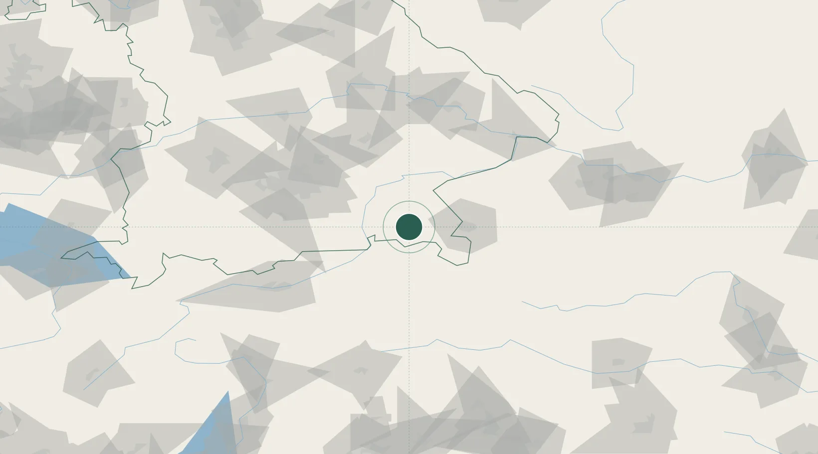
Location
Nearby Logistics Neighbours
Cities
- 1Übersee5 km
- 2Grabenstätt6 km
- 3Adelholzen7 km
- 4Siegsdorf10 km
- 5Nussdorf12 km
Ports
- 1Nogaro232 km
- 2Monfalcone237 km
- 3Grado241 km
- 4Trieste256 km
- 5Muggia262 km
Airports
- 1Salzburg Airport35 km
- 2Munich Airport83 km
- 3Landshut Airfield87 km
- 4Oberpfaffenhofen Airport98 km
- 5Innsbruck Airport108 km
Trade Zones
- 1Freeport of Deggendorf120 km
- 2Livigno Free Trade Zone232 km
- 3Free Port of Trieste257 km
- 4Free Port of Venice264 km
- 5Consorzio Zona Industriale e Porto Fluviale di Padova272 km
DatabookThe Record of Consolidated Knowledge
Germany beyond logistics?