Transport Functions
Road
Multimodal
Hub Profile
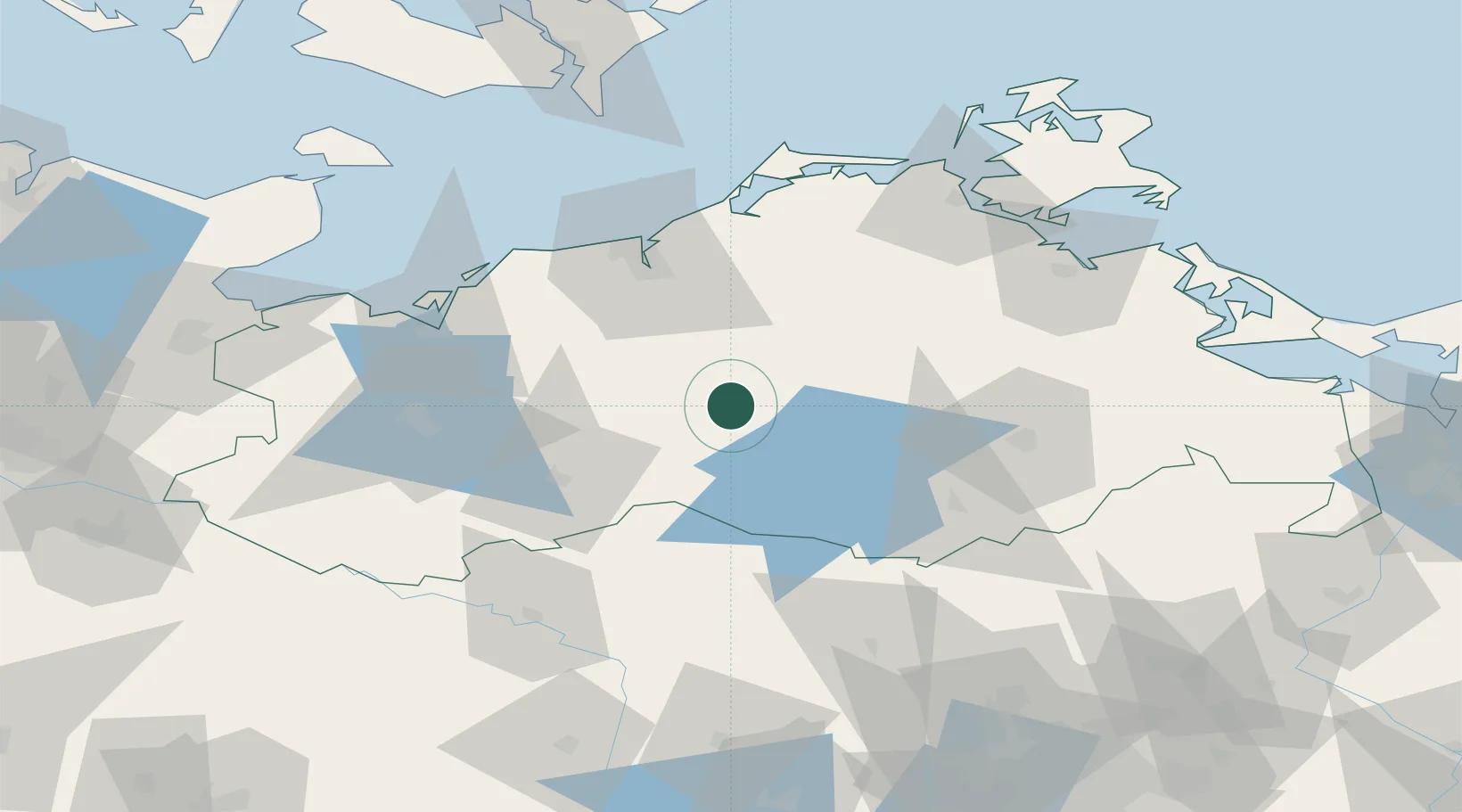
Place type
Populated place
Region
Mecklenburg-Vorpommern
Population
938
Time zone
Europe/Berlin
Elevation
43 m
Location
Nearby Logistics Neighbours
Ports
- 1Rostock51 km
- 2Wismar65 km
- 3Stralsund87 km
- 4Wolgast102 km
- 5Lubeck-Travemunde103 km
Airports
- 1Rostock-Laage Airport29 km
- 2Neubrandenburg Trollenhagen Airport62 km
- 3Lübeck Blankensee Airport109 km
- 4Heringsdorf Airport120 km
- 5Lolland Falster Maribo Airport130 km
Trade Zones
- 1Swinoujscie Duty Free Zone128 km
- 2Szczecin Duty Free Zone148 km
- 3Freeport of Kiel161 km
- 4Kostrzyń-Słubice SEZ193 km
- 5MTS Malmö Transport and Spedition221 km
DatabookThe Record of Consolidated Knowledge
Germany beyond logistics?