UN/LOCODE hub · Germany
DEIZD

Itzgrund

50.1167°, 10.9000°
1
Transport functions

Transport Functions

Multimodal
UN/LOCODE

Hub Profile

Region
BY
GeoNames

Location

Location of DEIZD
Natural Earth 10m (public domain) · BY · DEIZD · 50.12, 10.90GoogleOSMYandex

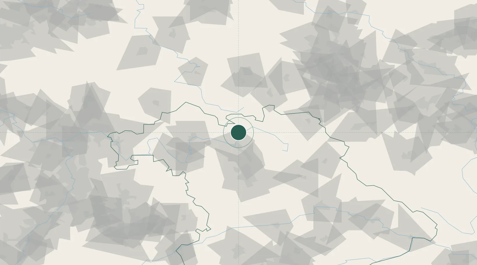
Nearby Logistics Neighbours

Cities
  1. 1Grossheirath6 km
  2. 2Sesslach8 km
  3. 3Kösten9 km
  4. 4Zapfendorf10 km
  5. 5Meschenbach11 km
Nearest neighbours — logibook spatial index (haversine) over the source coordinates
Ports
  1. 1Bremen366 km
  2. 2Oldenburg382 km
  3. 3Elsfleth385 km
  4. 4Hamburg388 km
  5. 5Brake395 km
Nearest neighbours — logibook spatial index (haversine) over the source coordinates
Airports
  1. 1Bamberg-Breitenau Airfield22 km
  2. 2Bayreuth Airport55 km
  3. 3Nuremberg Airport70 km
  4. 4Hof-Plauen Airport71 km
  5. 5Grafenwöhr Army Air Field88 km
Nearest neighbours — logibook spatial index (haversine) over the source coordinates
Trade Zones
  1. 1Podbořany Industrial Zone179 km
  2. 2Žatec - Triangle Strategic Industrial Zone189 km
  3. 3Most - Joseph Industrial Zone199 km
  4. 4Freeport of Deggendorf202 km
  5. 5ZFU Neuhof287 km
Nearest neighbours — logibook spatial index (haversine) over the source coordinates
DatabookThe Record of Consolidated Knowledge
Germany beyond logistics?
Browse databook

All Sources

LocationsUN/LOCODE
UN/LOCODE — free
Portsthe NGA World Port Index
Public domain (US gov)
AirportsOurAirports
Public domain
Trade Zonesthe World Bank SEZ database
CC BY 4.0
Trade ZonesOpen Zone Map
CC BY
← Germany locations