UN/LOCODE hub · Germany
DENEP

Neuhaus an der Pegnitz
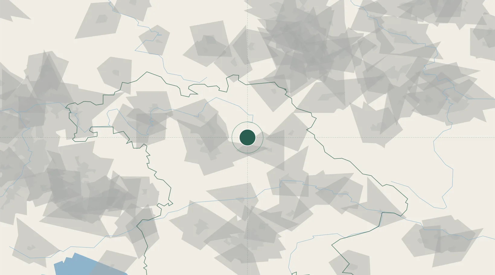
49.6333°, 11.5500°
2,974
Population
2
Transport functions

Transport Functions

Rail
Road
UN/LOCODE

Hub Profile

Place type
Populated place
GeoNames
Region
Bavaria
GeoNames
Population
2,974
GeoNames
Time zone
Europe/Berlin
GeoNames
Elevation
400 m
GeoNames

Location

Location of DENEP
Natural Earth 10m (public domain) · Bavaria · DENEP · 49.63, 11.55GoogleOSMYandex

Nearby Logistics Neighbours

Cities
  1. 1Velden3 km
  2. 2Hartenstein4 km
  3. 3Pegnitz13 km
  4. 4Weissenberg14 km
  5. 5Weigendorf15 km
Nearest neighbours — logibook spatial index (haversine) over the source coordinates
Ports
  1. 1Bremen434 km
  2. 2Nogaro448 km
  3. 3Hamburg450 km
  4. 4Oldenburg451 km
  5. 5Monfalcone454 km
Nearest neighbours — logibook spatial index (haversine) over the source coordinates
Airports
  1. 1Grafenwöhr Army Air Field29 km
  2. 2Nuremberg Airport37 km
  3. 3Bayreuth Airport40 km
  4. 4Hohenfels Army Airfield51 km
  5. 5Bamberg-Breitenau Airfield56 km
Nearest neighbours — logibook spatial index (haversine) over the source coordinates
Trade Zones
  1. 1Freeport of Deggendorf132 km
  2. 2Podbořany Industrial Zone148 km
  3. 3Žatec - Triangle Strategic Industrial Zone165 km
  4. 4Most - Joseph Industrial Zone177 km
  5. 5Kolín - Ovčáry Industrial Zone268 km
Nearest neighbours — logibook spatial index (haversine) over the source coordinates
DatabookThe Record of Consolidated Knowledge
Germany beyond logistics?
Browse databook

All Sources

LocationsUN/LOCODE
UN/LOCODE — free
LocationsGeoNames
CC BY 4.0
Portsthe NGA World Port Index
Public domain (US gov)
AirportsOurAirports
Public domain
Trade Zonesthe World Bank SEZ database
CC BY 4.0
Trade ZonesOpen Zone Map
CC BY
← Germany locations