Transport Functions
Port
Rail
Road
Hub Profile
Region
MV
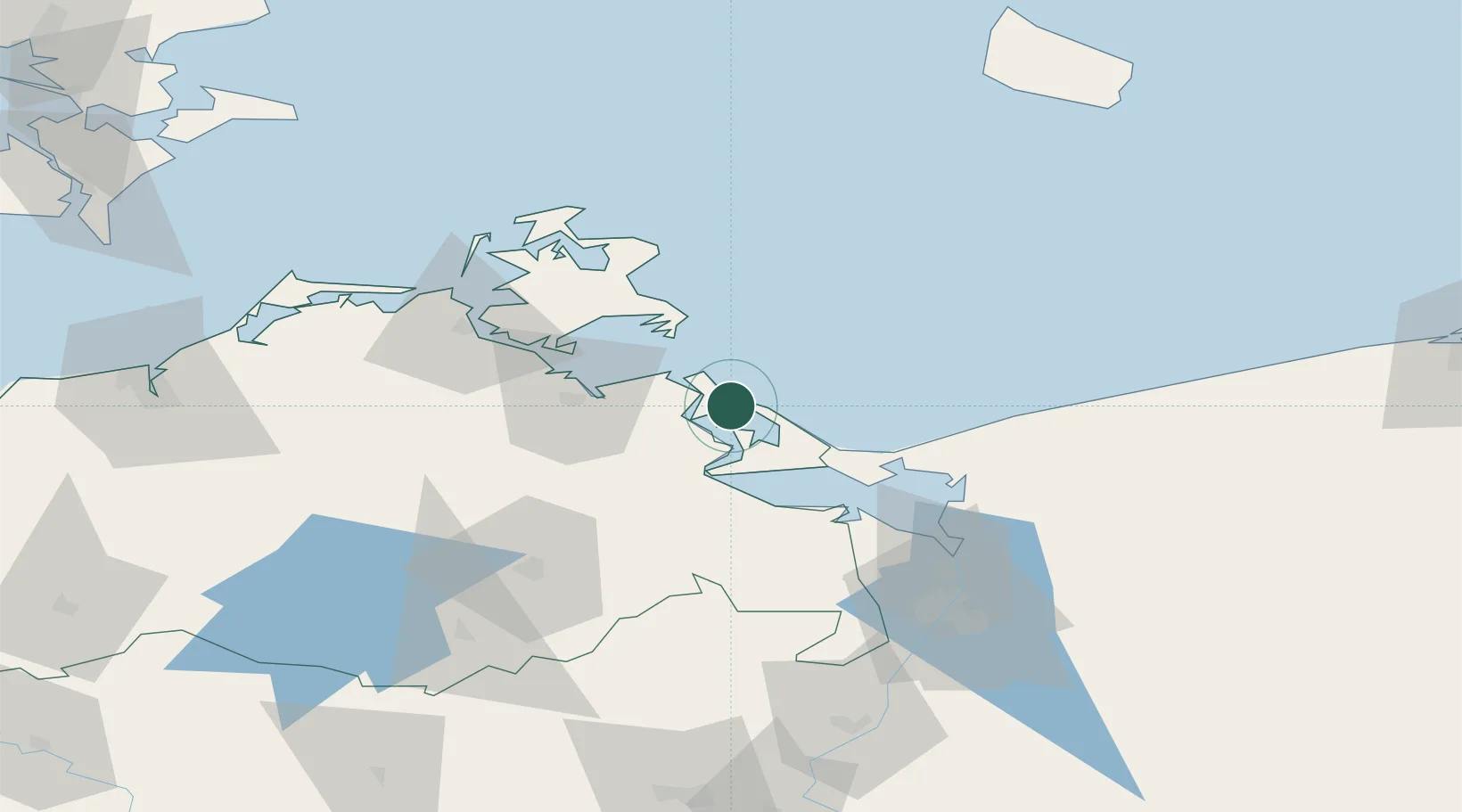
Location
Nearby Logistics Neighbours
Cities
- 1Peenemünde11 km
- 2Lassan14 km
- 3Lubmin21 km
- 4Viewrow21 km
- 5Usedom22 km
Ports
- 1Wolgast8 km
- 2Swinoujscie29 km
- 3Sassnitz53 km
- 4Stralsund59 km
- 5Police71 km
Airports
- 1Heringsdorf Airport27 km
- 2Neubrandenburg Trollenhagen Airport65 km
- 3Solidarity Szczecin–Goleniów Airport85 km
- 4Rostock-Laage Airport107 km
- 5Bornholm Airport124 km
Trade Zones
DatabookThe Record of Consolidated Knowledge
Germany beyond logistics?