Transport Functions
Port
Road
Hub Profile
Place type
Local administrative seat
Region
Mecklenburg-Vorpommern
Population
1,462
Time zone
Europe/Berlin
Elevation
5 m
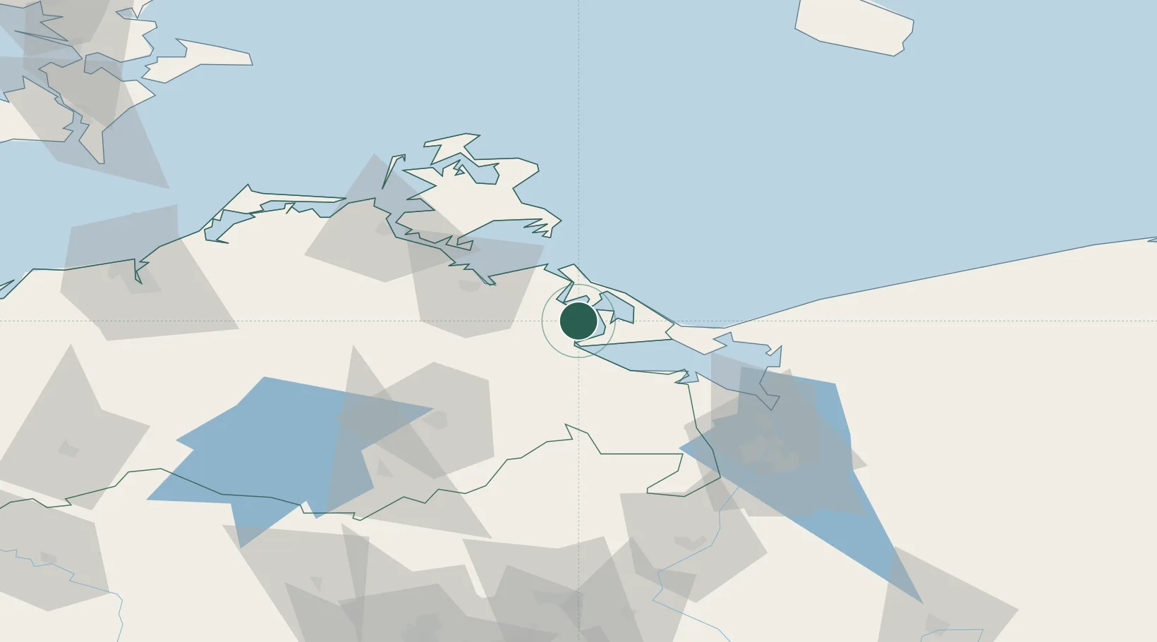
Location
Nearby Logistics Neighbours
Cities
- 1Usedom11 km
- 2Zinnowitz14 km
- 3Rosenhagen17 km
- 4Stolpe20 km
- 5Peenemünde21 km
Ports
- 1Wolgast12 km
- 2Swinoujscie29 km
- 3Stralsund63 km
- 4Sassnitz64 km
- 5Police64 km
Airports
Trade Zones
DatabookThe Record of Consolidated Knowledge
Germany beyond logistics?