Transport Functions
Port
Road
Hub Profile
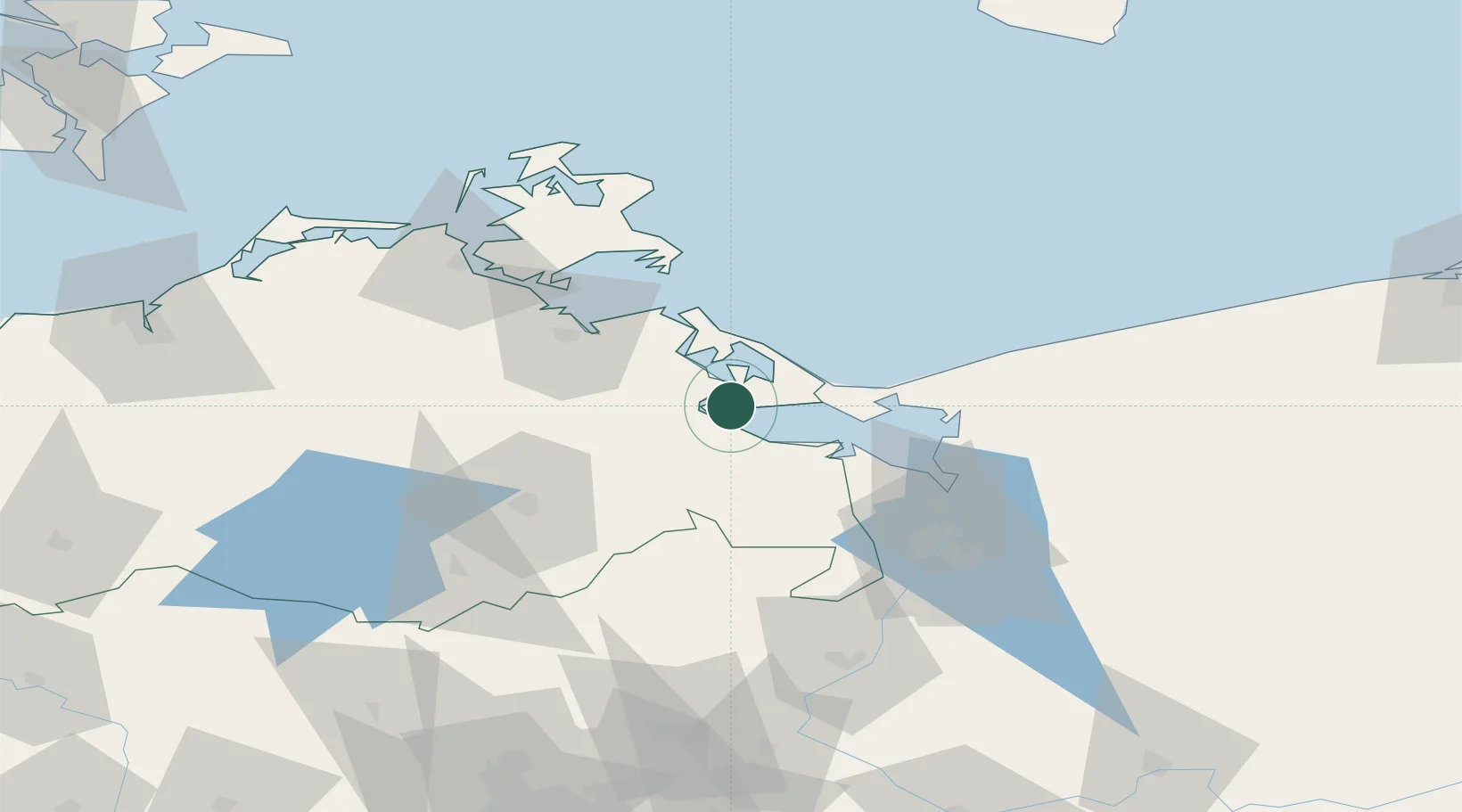
Place type
Populated place
Region
Mecklenburg-Vorpommern
Population
1,929
Time zone
Europe/Berlin
Elevation
-1 m
Location
Nearby Logistics Neighbours
Cities
- 1Rosenhagen10 km
- 2Lassan11 km
- 3Grambin13 km
- 4Ueckermünde17 km
- 5Liepgarten18 km
Ports
- 1Wolgast22 km
- 2Swinoujscie24 km
- 3Police54 km
- 4Szczecin65 km
- 5Stralsund73 km
Airports
Trade Zones
- 1Swinoujscie Duty Free Zone24 km
- 2Szczecin Duty Free Zone66 km
- 3Kostrzyń-Słubice SEZ149 km
- 4MTS Malmö Transport and Spedition201 km
- 5Słupsk SEZ (Słupska SSE)213 km
DatabookThe Record of Consolidated Knowledge
Germany beyond logistics?