Transport Functions
Port
Rail
Road
Hub Profile
Place type
Populated place
Region
Mecklenburg-Vorpommern
Population
1,987
Time zone
Europe/Berlin
Elevation
11 m
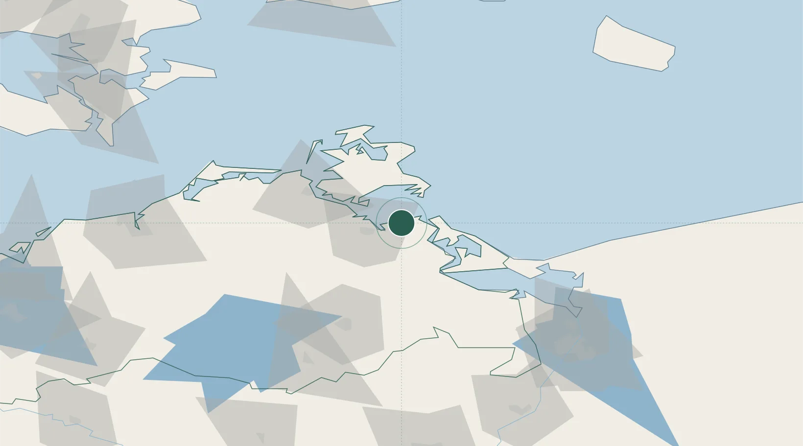
Location
Nearby Logistics Neighbours
Cities
- 1Viewrow2 km
- 2Peenemünde12 km
- 3Gager19 km
- 4Zinnowitz21 km
- 5Vierow22 km
Ports
- 1Wolgast15 km
- 2Stralsund38 km
- 3Sassnitz43 km
- 4Swinoujscie50 km
- 5Police89 km
Airports
- 1Heringsdorf Airport46 km
- 2Neubrandenburg Trollenhagen Airport62 km
- 3Rostock-Laage Airport90 km
- 4Solidarity Szczecin–Goleniów Airport105 km
- 5Bornholm Airport128 km
Trade Zones
- 1Swinoujscie Duty Free Zone51 km
- 2Szczecin Duty Free Zone102 km
- 3MTS Malmö Transport and Spedition167 km
- 4Kostrzyń-Słubice SEZ184 km
- 5Freeport of Copenhagen- Nordhavn187 km
DatabookThe Record of Consolidated Knowledge
Germany beyond logistics?