Transport Functions
Port
Rail
Road
Hub Profile
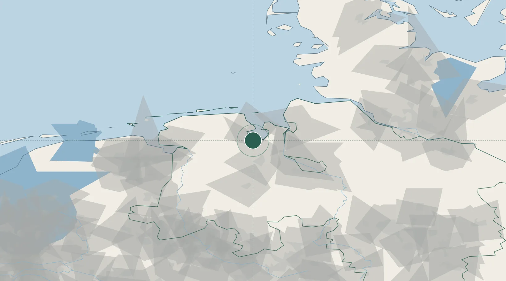
Place type
Local administrative seat
Region
Lower Saxony
Population
25,212
Time zone
Europe/Berlin
Elevation
9 m
Location
Nearby Logistics Neighbours
Cities
- 1Dangast6 km
- 2Zetel10 km
- 3Mariensiel12 km
- 4Rastede17 km
- 5Strückhausen18 km
Ports
- 1Wilhelmshaven15 km
- 2Brake24 km
- 3Nordenham25 km
- 4Elsfleth29 km
- 5Oldenburg32 km
Airports
Trade Zones
DatabookThe Record of Consolidated Knowledge
Germany beyond logistics?