Transport Functions
Road
Multimodal
Hub Profile
Region
TH
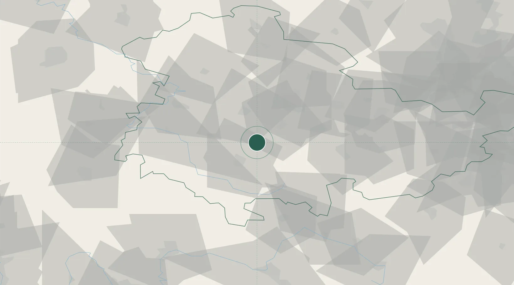
Location
Nearby Logistics Neighbours
Cities
- 1Geschwenda3 km
- 2Elgersburg7 km
- 3Georgenthal12 km
- 4Arnstadt14 km
- 5Tambach-Dietharz14 km
Airports
- 1Erfurt-Weimar Airport28 km
- 2Eisenach-Kindel Airport35 km
- 3Hof-Plauen Airport90 km
- 4Bamberg-Breitenau Airfield93 km
- 5Bayreuth Airport104 km
Trade Zones
DatabookThe Record of Consolidated Knowledge
Germany beyond logistics?