Transport Functions
Multimodal
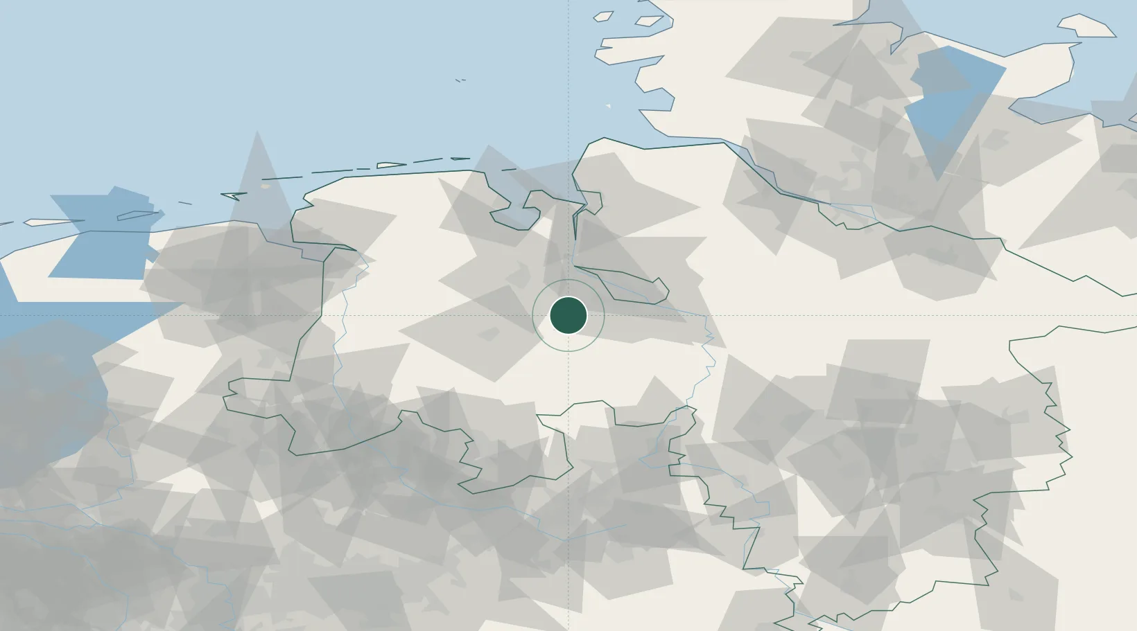
Hub Profile
Place type
Populated place
Region
Lower Saxony
Time zone
Europe/Berlin
Elevation
37 m
Location
Nearby Logistics Neighbours
Cities
- 1Dötlingen7 km
- 2Ganderkesee9 km
- 3Gross Ippener10 km
- 4Hatten11 km
- 5Harpstedt11 km
Airports
- 1Bremen Airport23 km
- 2Diepholz Air Base43 km
- 3Wittmundhafen Air Base84 km
- 4Wunstorf Air Base86 km
- 5Bückeburg Air Base87 km
Trade Zones
DatabookThe Record of Consolidated Knowledge
Germany beyond logistics?