Transport Functions
Rail
Road
Hub Profile
Place type
Local administrative seat
Region
Lower Saxony
Population
13,698
Time zone
Europe/Berlin
Elevation
35 m
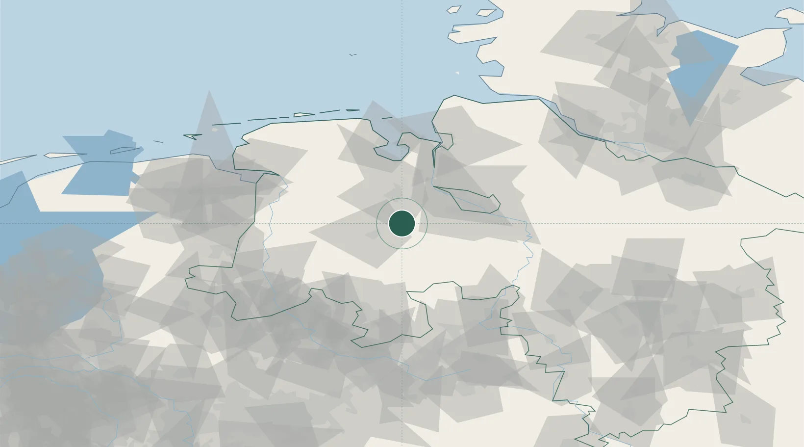
Location
Nearby Logistics Neighbours
Airports
- 1Bremen Airport37 km
- 2Diepholz Air Base41 km
- 3Wittmundhafen Air Base78 km
- 4Emden Airport85 km
- 5Harlesiel Airfield89 km
Trade Zones
DatabookThe Record of Consolidated Knowledge
Germany beyond logistics?