Transport Functions
Multimodal
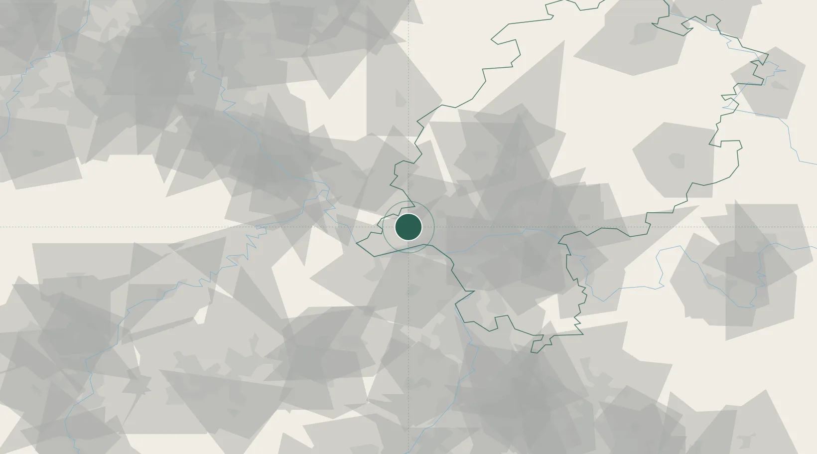
Hub Profile
Region
HE
Location
Nearby Logistics Neighbours
Cities
- 1Niederwalluf14 km
- 2Schierstein15 km
- 3Hattenheim15 km
- 4Niedernhausen17 km
- 5Hahnstätten17 km
Airports
- 1Wiesbaden Army Airfield21 km
- 2Mainz-Finthen Airfield21 km
- 3Frankfurt Main Airport37 km
- 4Frankfurt-Egelsbach Airport45 km
- 5Siegerland Airport62 km
Trade Zones
- 1ZFU La Cité Behren-lès-Forbach137 km
- 2Luxembourg Free Port145 km
- 3Rheinische Revier SWZ147 km
- 4ZFU Hautepierre175 km
- 5ZFU Woippy-Metz178 km
DatabookThe Record of Consolidated Knowledge
Germany beyond logistics?