Transport Functions
Multimodal
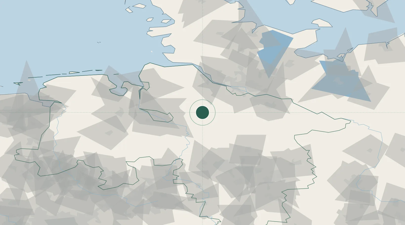
Hub Profile
Place type
Populated place
Region
Lower Saxony
Time zone
Europe/Berlin
Elevation
33 m
Location
Nearby Logistics Neighbours
Cities
- 1Brockel10 km
- 2Kirchwalsede17 km
- 3Zeven17 km
- 4Heeslingen18 km
- 5Ottersberg19 km
Airports
- 1Bremen Airport44 km
- 2Hamburg-Finkenwerder Airport50 km
- 3Uetersen-Heist Airfield57 km
- 4Faßberg Air Base58 km
- 5Hamburg Helmut Schmidt Airport64 km
Trade Zones
DatabookThe Record of Consolidated Knowledge
Germany beyond logistics?