Transport Functions
Port
Road
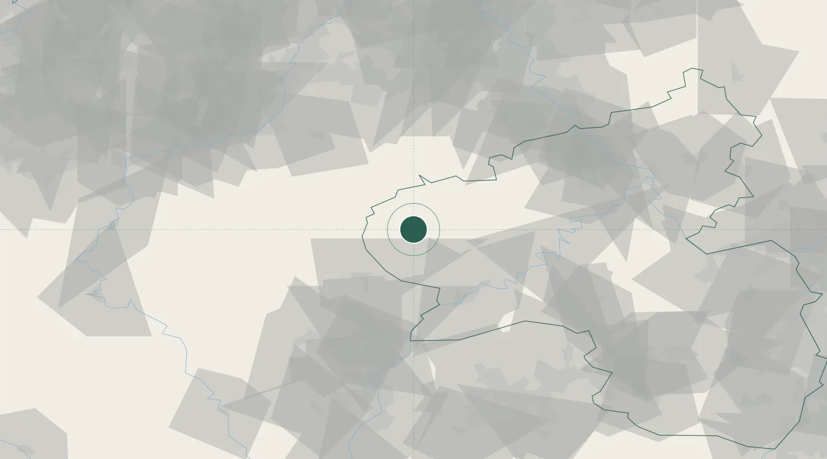
Hub Profile
Place type
Local administrative seat
Region
Rheinland-Pfalz
Population
1,128
Time zone
Europe/Berlin
Elevation
341 m
Location
Nearby Logistics Neighbours
Airports
- 1Spangdahlem Air Base27 km
- 2Büchel Air Base50 km
- 3Luxembourg-Findel International Airport54 km
- 4Frankfurt-Hahn Airport66 km
- 5Nörvenich Air Base84 km
Trade Zones
- 1Luxembourg Free Port52 km
- 2Rheinische Revier SWZ90 km
- 3ZFU Woippy-Metz107 km
- 4ZFU La Cité Behren-lès-Forbach111 km
- 5ZFU Metz112 km
DatabookThe Record of Consolidated Knowledge
Germany beyond logistics?