Transport Functions
Multimodal
Hub Profile
Place type
Local administrative seat
Region
Lower Saxony
Population
1,394
Time zone
Europe/Berlin
Elevation
35 m
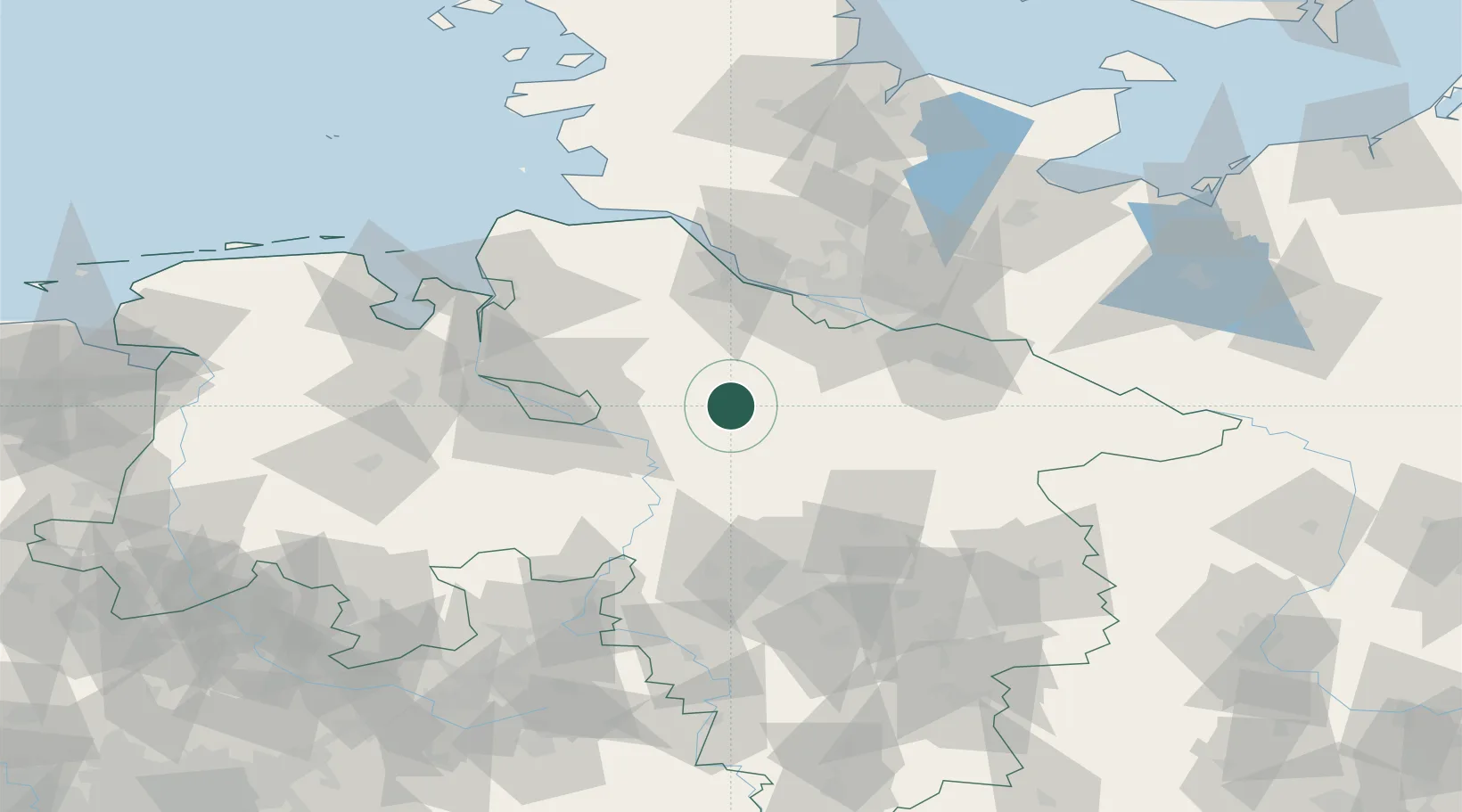
Location
Nearby Logistics Neighbours
Cities
- 1Westerholz10 km
- 2Kirchwalsede12 km
- 3Visselhövede14 km
- 4Neuenkirchen/Lüneburg15 km
- 5Schneverdingen19 km
Airports
- 1Bremen Airport49 km
- 2Faßberg Air Base49 km
- 3Hamburg-Finkenwerder Airport53 km
- 4Uetersen-Heist Airfield62 km
- 5Celle Army Airfield66 km
Trade Zones
DatabookThe Record of Consolidated Knowledge
Germany beyond logistics?