Transport Functions
Multimodal
Hub Profile
Place type
Local administrative seat
Region
Lower Saxony
Population
1,334
Time zone
Europe/Berlin
Elevation
53 m
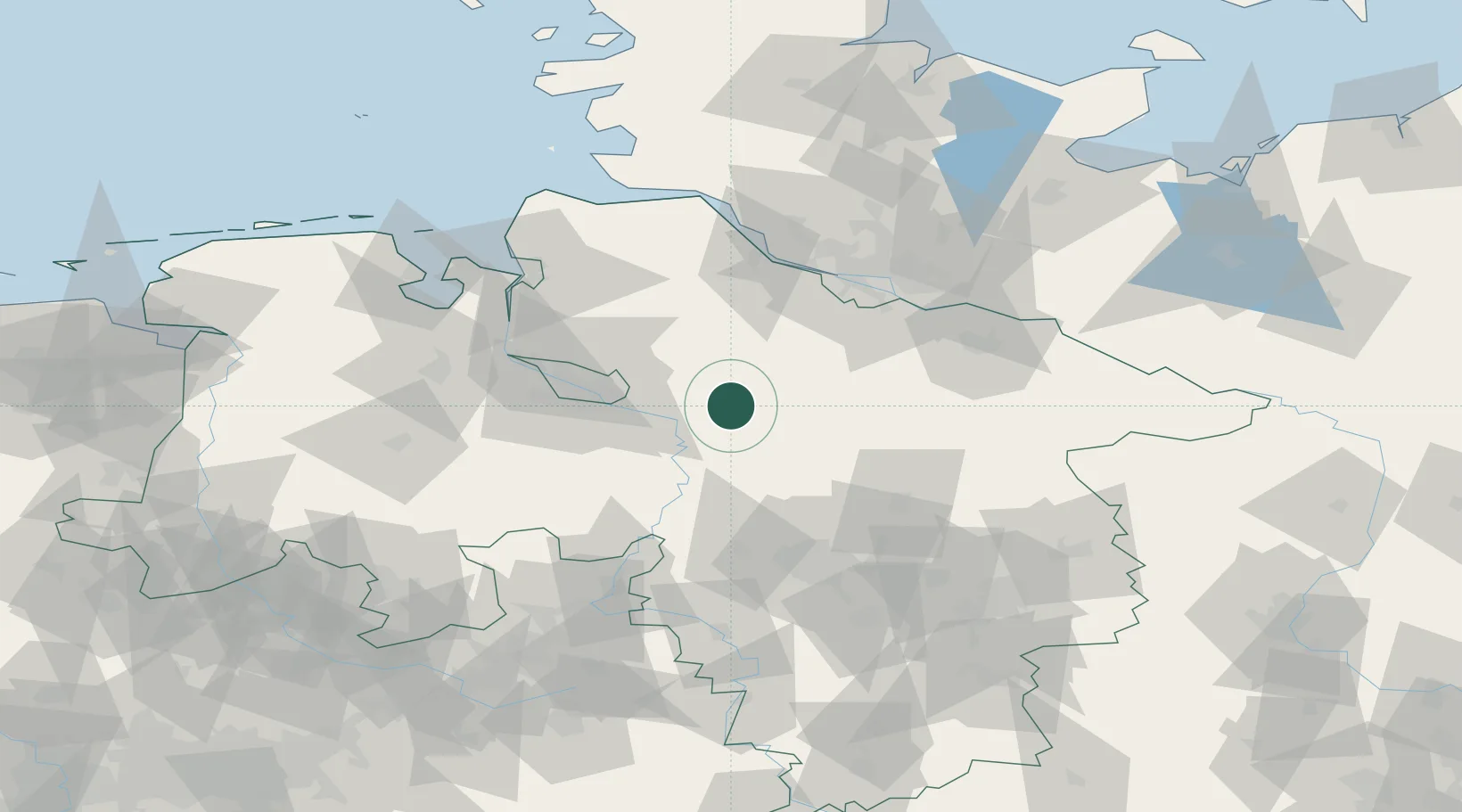
Location
Nearby Logistics Neighbours
Cities
- 1Kirchlinteln9 km
- 2Brockel12 km
- 3Langwedel14 km
- 4Visselhövede14 km
- 5Westerholz17 km
Airports
- 1Bremen Airport41 km
- 2Faßberg Air Base54 km
- 3Wunstorf Air Base62 km
- 4Celle Army Airfield63 km
- 5Hamburg-Finkenwerder Airport65 km
Trade Zones
DatabookThe Record of Consolidated Knowledge
Germany beyond logistics?