Transport Functions
Rail
Road
Multimodal
Hub Profile
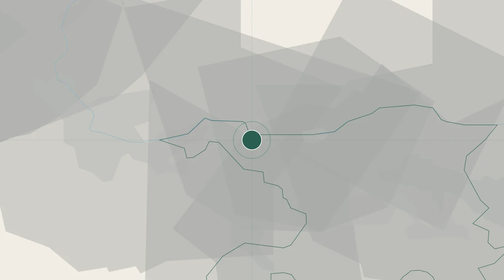
Place type
Populated place
Region
Aargau
Population
1,425
Time zone
Europe/Zurich
Elevation
288 m
Location
Nearby Logistics Neighbours
Cities
- 1Stein3 km
- 2Eiken5 km
- 3Wehr8 km
- 4Rickenbach9 km
- 5Frick9 km
Ports
- 1Genova359 km
- 2Savona362 km
- 3Rada Di Vado368 km
- 4Chiavari - Lavagna377 km
- 5Imperia408 km
Airports
- 1EuroAirport Basel–Mulhouse–Freiburg30 km
- 2Zürich Airport49 km
- 3Grenchen Airfield56 km
- 4Dübendorf Air Base58 km
- 5Emmen Air Base59 km
Trade Zones
- 1ZFU Mulhouse49 km
- 2ZFU Belfort84 km
- 3ZFU Montbéliard85 km
- 4ZFU Neuhof111 km
- 5ZFU Hautepierre117 km
DatabookThe Record of Consolidated Knowledge
Switzerland beyond logistics?