Transport Functions
Port
Rail
Road
Hub Profile
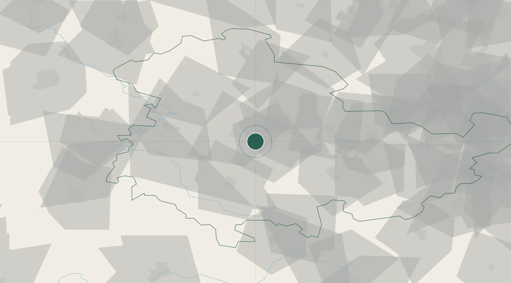
Place type
Populated place
Region
Thuringia
Population
1,679
Time zone
Europe/Berlin
Elevation
265 m
Location
Nearby Logistics Neighbours
Cities
- 1Apfelstädt2 km
- 2Nesse-Apfelstadt5 km
- 3Arnstadt10 km
- 4Leinatal15 km
- 5Georgenthal16 km
Airports
- 1Erfurt-Weimar Airport12 km
- 2Eisenach-Kindel Airport28 km
- 3Hof-Plauen Airport98 km
- 4Bamberg-Breitenau Airfield109 km
- 5Fritzlar Army Airfield112 km
Trade Zones
DatabookThe Record of Consolidated Knowledge
Germany beyond logistics?