Transport Functions
Rail
Road
Multimodal
Hub Profile
Region
TH
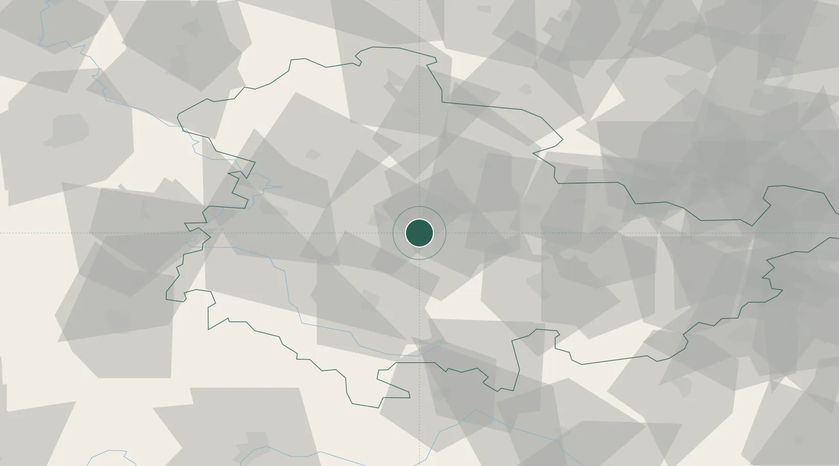
Location
Nearby Logistics Neighbours
Cities
- 1Wandersleben2 km
- 2Nesse-Apfelstadt3 km
- 3Arnstadt9 km
- 4Behringen16 km
- 5Eschenbergen17 km
Airports
- 1Erfurt-Weimar Airport10 km
- 2Eisenach-Kindel Airport30 km
- 3Hof-Plauen Airport97 km
- 4Bamberg-Breitenau Airfield109 km
- 5Leipzig/Halle Airport111 km
Trade Zones
DatabookThe Record of Consolidated Knowledge
Germany beyond logistics?