UN/LOCODE hub · Germany
DEHFU
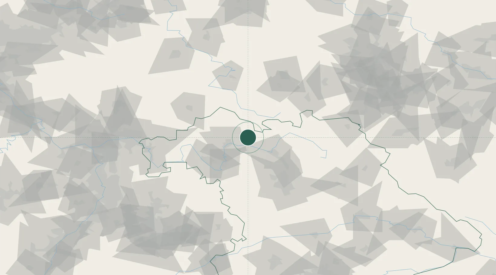
Hofheim in Unterfranken
50.1333°, 10.5167°
5,199
Population
2
Transport functions
Transport Functions
Rail
Road
Hub Profile
Place type
Populated place
Region
Bavaria
Population
5,199
Time zone
Europe/Berlin
Elevation
266 m
Location
Nearby Logistics Neighbours
Cities
- 1Königsberg in Bayern7 km
- 2Kirschfurt11 km
- 3Wonfurt14 km
- 4Pettstadt (Hasharpberge)16 km
- 5Knetzgau17 km
Airports
- 1Bamberg-Breitenau Airfield37 km
- 2Nuremberg Airport81 km
- 3Bayreuth Airport82 km
- 4Niederstetten Army Air Base92 km
- 5Eisenach-Kindel Airport96 km
Trade Zones
- 1Podbořany Industrial Zone206 km
- 2Žatec - Triangle Strategic Industrial Zone216 km
- 3Freeport of Deggendorf224 km
- 4Most - Joseph Industrial Zone225 km
- 5ZFU Hautepierre267 km
DatabookThe Record of Consolidated Knowledge
Germany beyond logistics?