Transport Functions
Rail
Road
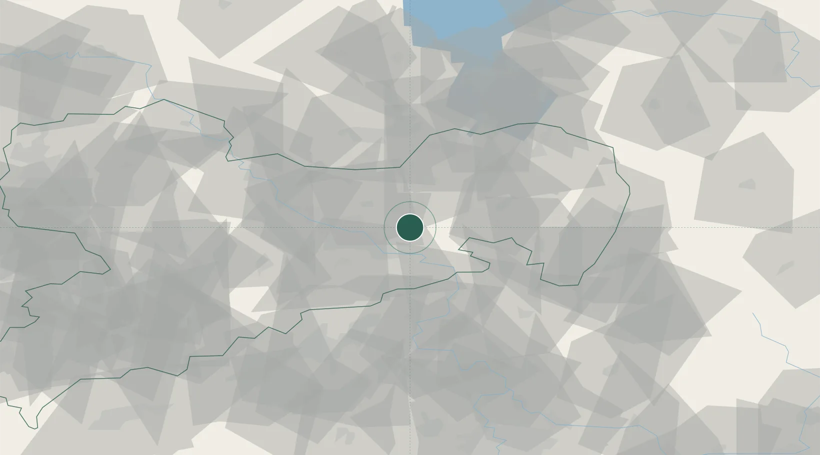
Hub Profile
Place type
Populated place
Region
Saxony
Time zone
Europe/Berlin
Elevation
261 m
Location
Nearby Logistics Neighbours
Cities
- 1Dürrröhrsdorf-Dittersbach6 km
- 2Porschendorf8 km
- 3Pulsnitz11 km
- 4Wachau12 km
- 5Laubegast14 km
Ports
- 1Szczecin262 km
- 2Police279 km
- 3Swinoujscie316 km
- 4Wolgast330 km
- 5Wismar358 km
Airports
- 1Dresden Airport18 km
- 2Rothenburg/Görlitz Airfield72 km
- 3Holzdorf Air Base96 km
- 4Vodochody Airport100 km
- 5Leipzig–Altenburg Airport106 km
Trade Zones
DatabookThe Record of Consolidated Knowledge
Germany beyond logistics?