Transport Functions
Rail
Road
Hub Profile
Place type
Populated place
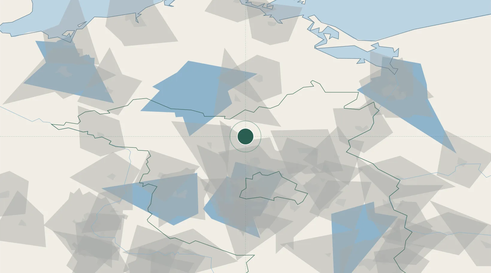
Region
Brandenburg
Population
6,544
Time zone
Europe/Berlin
Elevation
55 m
Location
Nearby Logistics Neighbours
Cities
- 1Ribbeck9 km
- 2Dannenwalde10 km
- 3Zehdenick12 km
- 4Zehdenick12 km
- 5Vielitz13 km
Ports
- 1Szczecin104 km
- 2Police113 km
- 3Wolgast124 km
- 4Swinoujscie126 km
- 5Rostock140 km
Airports
- 1Neubrandenburg Trollenhagen Airport68 km
- 2Berlin Brandenburg Airport75 km
- 3Rostock-Laage Airport117 km
- 4Heringsdorf Airport118 km
- 5Zerbst Airfield130 km
Trade Zones
- 1Szczecin Duty Free Zone106 km
- 2Kostrzyń-Słubice SEZ110 km
- 3Swinoujscie Duty Free Zone125 km
- 4Freeport of Kiel246 km
- 5Legnica SEZ (Legnicka SSE)270 km
DatabookThe Record of Consolidated Knowledge
Germany beyond logistics?