UN/LOCODE hub · Germany
DEELS

Elsfleth

53.2333°, 8.4667°
9,310
Population
3
Transport functions

Transport Functions

Port
Rail
Road
Elsfleth is also a profiled seaport →
UN/LOCODE

Hub Profile

Place type
Populated place
GeoNames
Region
Lower Saxony
GeoNames
Population
9,310
GeoNames
Time zone
Europe/Berlin
GeoNames
Elevation
3 m
GeoNames

Location

Location of DEELS
Natural Earth 10m (public domain) · Lower Saxony · DEELS · 53.23, 8.47GoogleOSMYandex

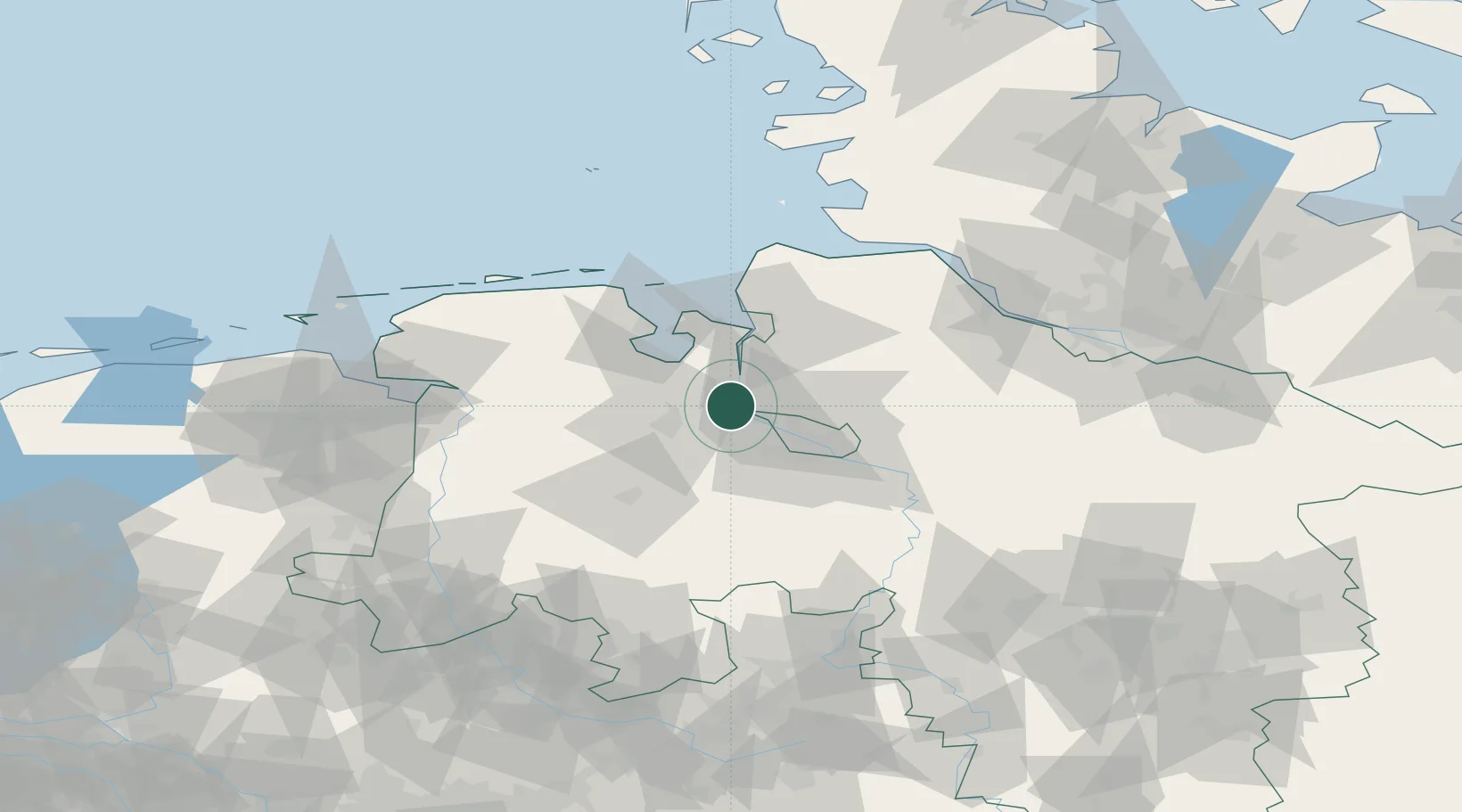
Nearby Logistics Neighbours

Cities
  1. 1Blumenthal/Bremen10 km
  2. 2Motzen10 km
  3. 3Brake11 km
  4. 4Holle11 km
  5. 5Strückhausen12 km
Nearest neighbours — logibook spatial index (haversine) over the source coordinates
Ports
  1. 1Brake11 km
  2. 2Oldenburg21 km
  3. 3Bremen23 km
  4. 4Nordenham28 km
  5. 5Bremerhaven34 km
Nearest neighbours — logibook spatial index (haversine) over the source coordinates
Airports
  1. 1Bremen Airport30 km
  2. 2Sea-Airport Cuxhaven/Nordholz / Nordholz Naval Airbase61 km
  3. 3Wittmundhafen Air Base64 km
  4. 4Harlesiel Airfield68 km
  5. 5Wangerooge Airport71 km
Nearest neighbours — logibook spatial index (haversine) over the source coordinates
Trade Zones
  1. 1Freeport of Bremerhaven (Freihafen Bremerhaven)26 km
  2. 2Freeport of Cuxhaven (Freihafen Cuxhaven)66 km
  3. 3Freeport of Emden86 km
  4. 4Freeport of Kiel166 km
  5. 5Freeport of Duisburg236 km
Nearest neighbours — logibook spatial index (haversine) over the source coordinates
DatabookThe Record of Consolidated Knowledge
Germany beyond logistics?
Browse databook

All Sources

LocationsUN/LOCODE
UN/LOCODE — free
LocationsGeoNames
CC BY 4.0
Portsthe NGA World Port Index
Public domain (US gov)
AirportsOurAirports
Public domain
Trade Zonesthe World Bank SEZ database
CC BY 4.0
Trade ZonesOpen Zone Map
CC BY
← Germany locations