Transport Functions
Rail
Road
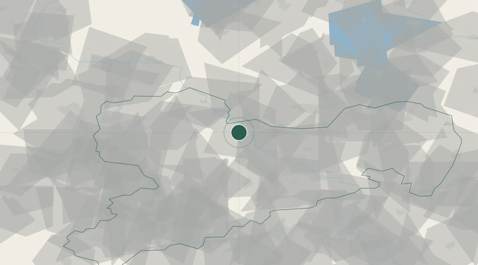
Hub Profile
Place type
Populated place
Region
Saxony
Population
37,156
Time zone
Europe/Berlin
Elevation
111 m
Logistics facilities
4
Location
Nearby Logistics Neighbours
Cities
- 1Gohlis4 km
- 2Zeithain5 km
- 3Strehla/Elbe6 km
- 4Kreinitz6 km
- 5Glaubitz7 km
Ports
- 1Szczecin249 km
- 2Police265 km
- 3Swinoujscie297 km
- 4Wolgast306 km
- 5Wismar312 km
Airports
- 1Dresden Airport40 km
- 2Holzdorf Air Base51 km
- 3Leipzig–Altenburg Airport65 km
- 4Leipzig/Halle Airport73 km
- 5Zerbst Airfield109 km
Trade Zones
DatabookThe Record of Consolidated Knowledge
Germany beyond logistics?