Transport Functions
Rail
Road
Hub Profile
Place type
Populated place
Region
Saxony
Time zone
Europe/Berlin
Elevation
174 m
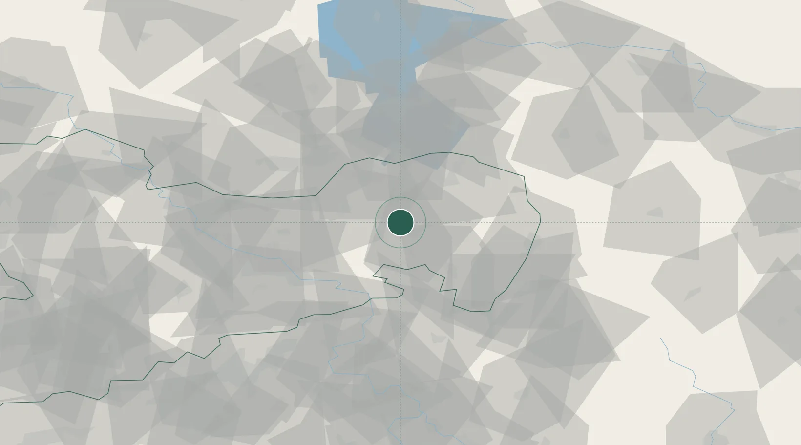
Location
Nearby Logistics Neighbours
Cities
- 1Grossdubrau7 km
- 2Niederkaina9 km
- 3Doberschau-Gassig9 km
- 4Malschwitz10 km
- 5Gaussig13 km
Ports
- 1Szczecin243 km
- 2Police260 km
- 3Swinoujscie298 km
- 4Wolgast316 km
- 5Kolobrzeg341 km
Airports
- 1Rothenburg/Görlitz Airfield43 km
- 2Dresden Airport43 km
- 3Holzdorf Air Base102 km
- 4Vodochody Airport113 km
- 5Kostomlaty Airstrip121 km
Trade Zones
- 1Most - Joseph Industrial Zone98 km
- 2Legnica SEZ (Legnicka SSE)109 km
- 3Žatec - Triangle Strategic Industrial Zone111 km
- 4Kamienna Góra126 km
- 5Podbořany Industrial Zone131 km
DatabookThe Record of Consolidated Knowledge
Germany beyond logistics?