Transport Functions
Port
Multimodal
Hub Profile
Region
SN
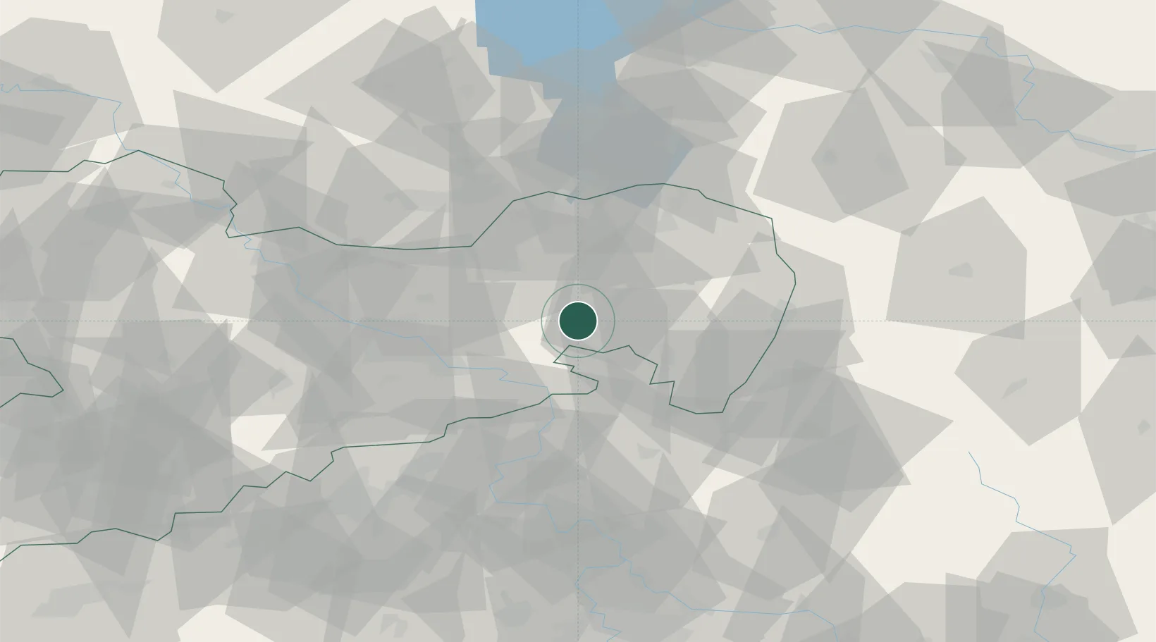
Location
Nearby Logistics Neighbours
Cities
- 1Doberschau-Gassig4 km
- 2Wilthen6 km
- 3Kirschau7 km
- 4Putzkau7 km
- 5Grosspostwitz9 km
Ports
- 1Szczecin256 km
- 2Police273 km
- 3Swinoujscie311 km
- 4Wolgast328 km
- 5Kolobrzeg355 km
Airports
- 1Dresden Airport38 km
- 2Rothenburg/Görlitz Airfield52 km
- 3Vodochody Airport100 km
- 4Holzdorf Air Base108 km
- 5Kostomlaty Airstrip110 km
Trade Zones
DatabookThe Record of Consolidated Knowledge
Germany beyond logistics?