Transport Functions
Multimodal
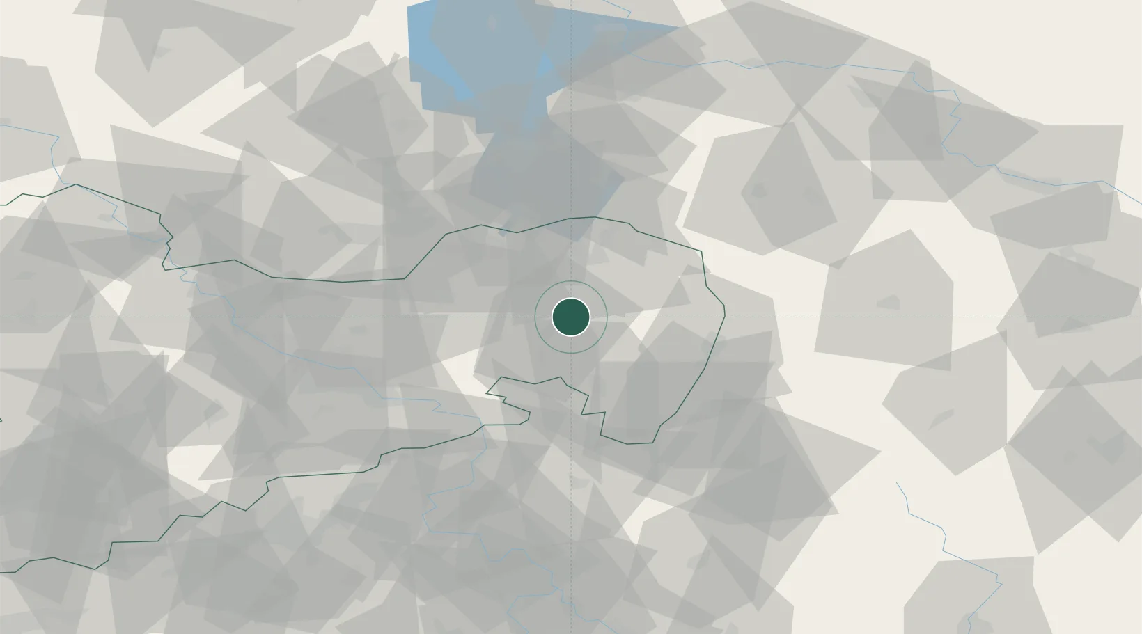
Hub Profile
Place type
Local administrative seat
Region
Saxony
Population
3,800
Time zone
Europe/Berlin
Elevation
149 m
Location
Nearby Logistics Neighbours
Cities
- 1Guttau4 km
- 2Grossdubrau4 km
- 3Niederkaina4 km
- 4Hochkirch10 km
- 5Schwarzadler10 km
Ports
- 1Szczecin243 km
- 2Police260 km
- 3Swinoujscie299 km
- 4Wolgast317 km
- 5Kolobrzeg339 km
Airports
- 1Rothenburg/Görlitz Airfield33 km
- 2Dresden Airport53 km
- 3Holzdorf Air Base111 km
- 4Vodochody Airport113 km
- 5Kostomlaty Airstrip118 km
Trade Zones
DatabookThe Record of Consolidated Knowledge
Germany beyond logistics?