Transport Functions
Multimodal
Hub Profile
Region
SN
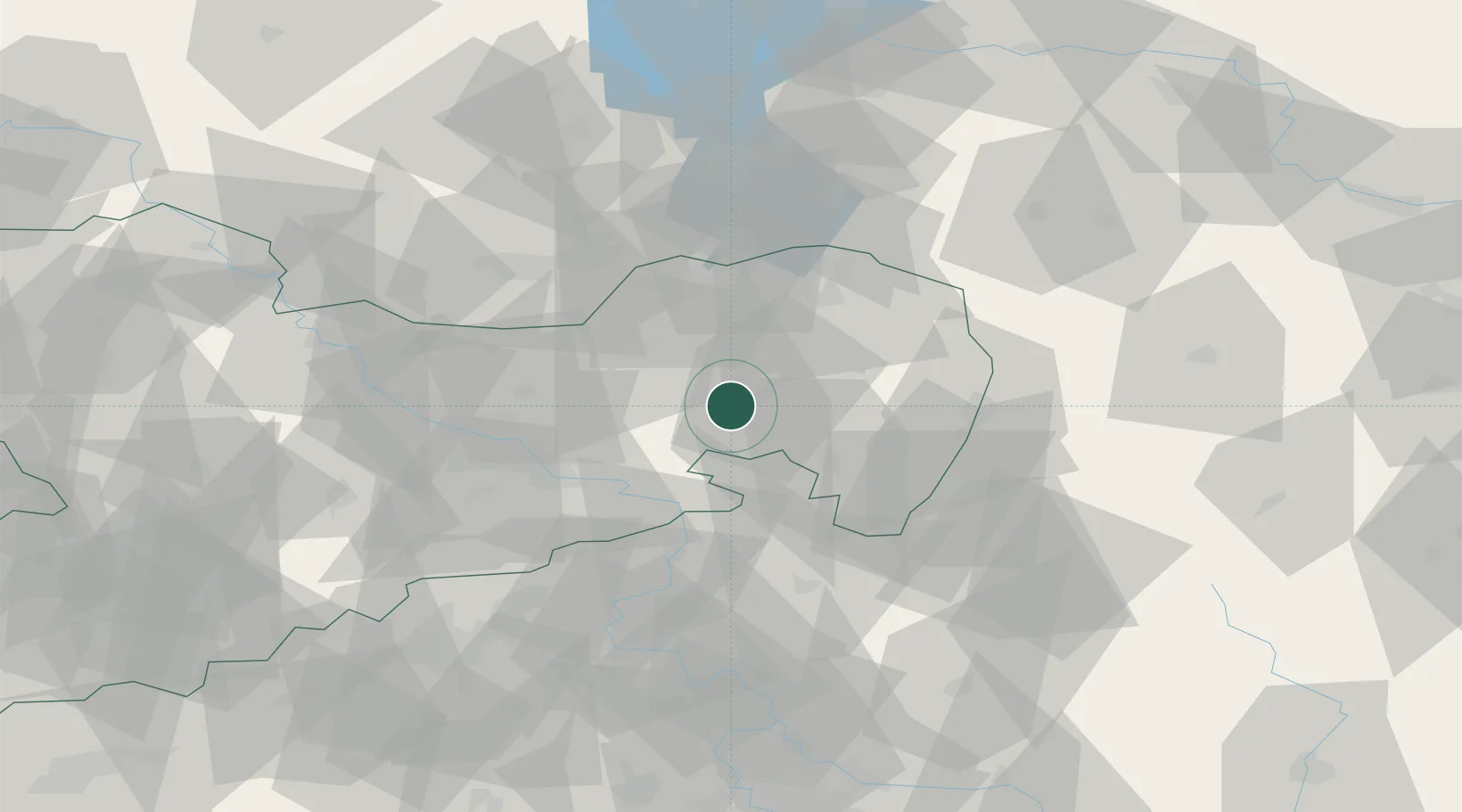
Location
Nearby Logistics Neighbours
Cities
- 1Gaussig4 km
- 2Wilthen7 km
- 3Kirschau7 km
- 4Grosspostwitz8 km
- 5Schwarzadler9 km
Ports
- 1Szczecin252 km
- 2Police269 km
- 3Swinoujscie308 km
- 4Wolgast325 km
- 5Kolobrzeg350 km
Airports
- 1Dresden Airport41 km
- 2Rothenburg/Görlitz Airfield48 km
- 3Vodochody Airport104 km
- 4Holzdorf Air Base107 km
- 5Kostomlaty Airstrip112 km
Trade Zones
- 1Most - Joseph Industrial Zone89 km
- 2Žatec - Triangle Strategic Industrial Zone102 km
- 3Legnica SEZ (Legnicka SSE)111 km
- 4Podbořany Industrial Zone122 km
- 5Kamienna Góra124 km
DatabookThe Record of Consolidated Knowledge
Germany beyond logistics?