Transport Functions
Multimodal
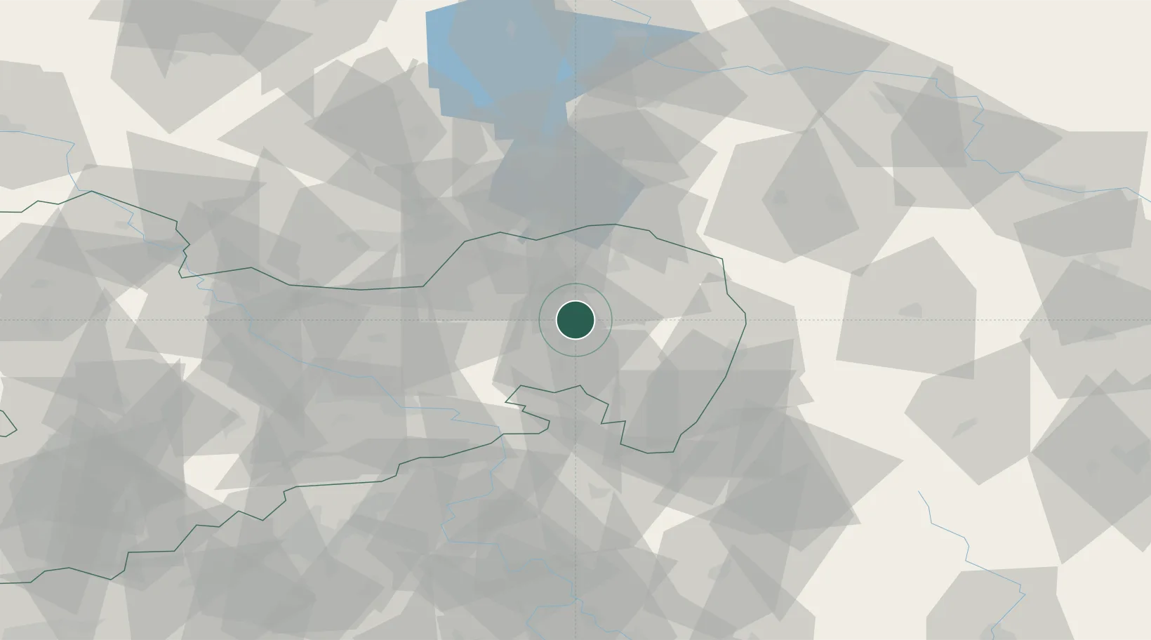
Hub Profile
Place type
Local administrative seat
Region
Saxony
Population
4,793
Time zone
Europe/Berlin
Elevation
197 m
Location
Nearby Logistics Neighbours
Cities
- 1Malschwitz4 km
- 2Niederkaina6 km
- 3Guttau7 km
- 4Schwarzadler7 km
- 5Hochkirch14 km
Ports
- 1Szczecin241 km
- 2Police258 km
- 3Swinoujscie297 km
- 4Wolgast315 km
- 5Kolobrzeg338 km
Airports
- 1Rothenburg/Görlitz Airfield36 km
- 2Dresden Airport50 km
- 3Holzdorf Air Base107 km
- 4Vodochody Airport115 km
- 5Kostomlaty Airstrip120 km
Trade Zones
- 1Legnica SEZ (Legnicka SSE)102 km
- 2Most - Joseph Industrial Zone103 km
- 3Žatec - Triangle Strategic Industrial Zone116 km
- 4Kamienna Góra121 km
- 5Podbořany Industrial Zone136 km
DatabookThe Record of Consolidated Knowledge
Germany beyond logistics?