Transport Functions
Port
Road
Hub Profile
Place type
Populated place
Region
Saxony
Time zone
Europe/Berlin
Elevation
167 m
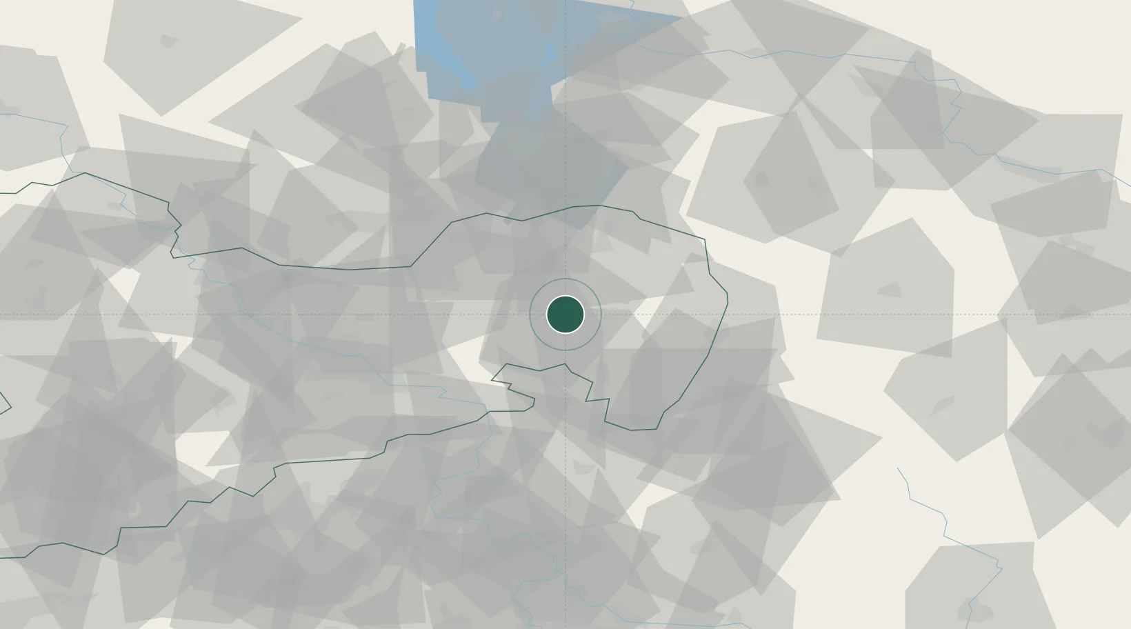
Location
Nearby Logistics Neighbours
Cities
- 1Malschwitz4 km
- 2Grossdubrau6 km
- 3Guttau8 km
- 4Hochkirch9 km
- 5Schwarzadler9 km
Ports
- 1Szczecin247 km
- 2Police263 km
- 3Swinoujscie302 km
- 4Wolgast320 km
- 5Kolobrzeg343 km
Airports
- 1Rothenburg/Görlitz Airfield37 km
- 2Dresden Airport50 km
- 3Vodochody Airport110 km
- 4Holzdorf Air Base111 km
- 5Kostomlaty Airstrip115 km
Trade Zones
- 1Most - Joseph Industrial Zone99 km
- 2Legnica SEZ (Legnicka SSE)101 km
- 3Žatec - Triangle Strategic Industrial Zone112 km
- 4Kamienna Góra117 km
- 5Podbořany Industrial Zone132 km
DatabookThe Record of Consolidated Knowledge
Germany beyond logistics?