UN/LOCODE hub · Germany
DEUH7

Udenheim

49.8667°, 8.1667°
1,327
Population
2
Transport functions

Transport Functions

Port
Multimodal
UN/LOCODE

Hub Profile

Place type
Local administrative seat
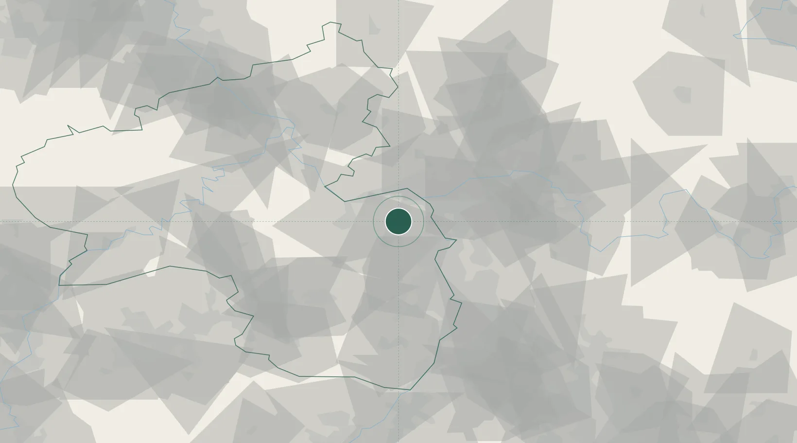
GeoNames
Region
Rheinland-Pfalz
GeoNames
Population
1,327
GeoNames
Time zone
Europe/Berlin
GeoNames
Elevation
154 m
GeoNames

Location

Location of DEUH7
Natural Earth 10m (public domain) · Rheinland-Pfalz · DEUH7 · 49.87, 8.17GoogleOSMYandex

Nearby Logistics Neighbours

Cities
  1. 1Bechtolsheim6 km
  2. 2Mommenheim6 km
  3. 3Selzen6 km
  4. 4Jugenheim6 km
  5. 5Biebelnheim7 km
Nearest neighbours — logibook spatial index (haversine) over the source coordinates
Ports
  1. 1Bruxelles293 km
  2. 2Antwerpen306 km
  3. 3Dordrecht329 km
  4. 4Hansweert342 km
  5. 5Rotterdam343 km
Nearest neighbours — logibook spatial index (haversine) over the source coordinates
Airports
  1. 1Mainz-Finthen Airfield11 km
  2. 2Wiesbaden Army Airfield23 km
  3. 3Frankfurt Main Airport33 km
  4. 4Frankfurt-Egelsbach Airport36 km
  5. 5Mannheim-City Airport50 km
Nearest neighbours — logibook spatial index (haversine) over the source coordinates
Trade Zones
  1. 1ZFU La Cité Behren-lès-Forbach119 km
  2. 2Luxembourg Free Port142 km
  3. 3ZFU Hautepierre146 km
  4. 4ZFU Neuhof150 km
  5. 5ZFU Woippy-Metz166 km
Nearest neighbours — logibook spatial index (haversine) over the source coordinates
DatabookThe Record of Consolidated Knowledge
Germany beyond logistics?
Browse databook

All Sources

LocationsUN/LOCODE
UN/LOCODE — free
LocationsGeoNames
CC BY 4.0
Portsthe NGA World Port Index
Public domain (US gov)
AirportsOurAirports
Public domain
Trade Zonesthe World Bank SEZ database
CC BY 4.0
Trade ZonesOpen Zone Map
CC BY
← Germany locations