Transport Functions
Rail
Road
Airport
Hub Profile
Region
BB
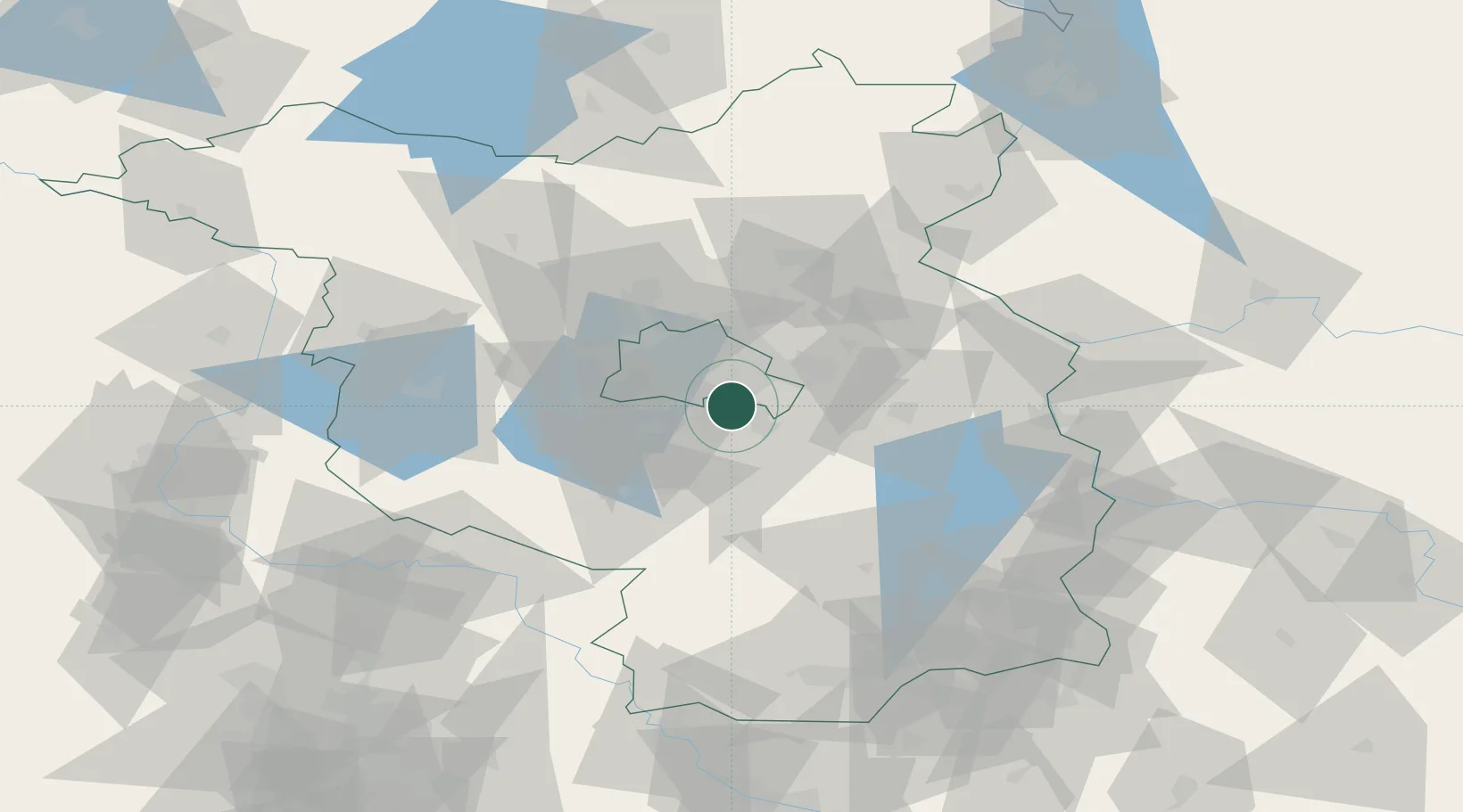
Location
Nearby Logistics Neighbours
Cities
- 1Rudow4 km
- 2Gross Kienitz7 km
- 3Mahlow8 km
- 4Zeuthen9 km
- 5Britz9 km
Ports
- 1Szczecin134 km
- 2Police149 km
- 3Swinoujscie178 km
- 4Wolgast186 km
- 5Rostock212 km
Airports
- 1Berlin Brandenburg Airport3 km
- 2Holzdorf Air Base73 km
- 3Zerbst Airfield103 km
- 4Neubrandenburg Trollenhagen Airport136 km
- 5Leipzig/Halle Airport139 km
Trade Zones
- 1Kostrzyń-Słubice SEZ80 km
- 2Szczecin Duty Free Zone135 km
- 3Swinoujscie Duty Free Zone176 km
- 4Legnica SEZ (Legnicka SSE)206 km
- 5Most - Joseph Industrial Zone211 km
DatabookThe Record of Consolidated Knowledge
Germany beyond logistics?