Transport Functions
Port
Road
Hub Profile
Place type
Urban district
Region
State of Berlin
Population
42,846
Time zone
Europe/Berlin
Elevation
44 m
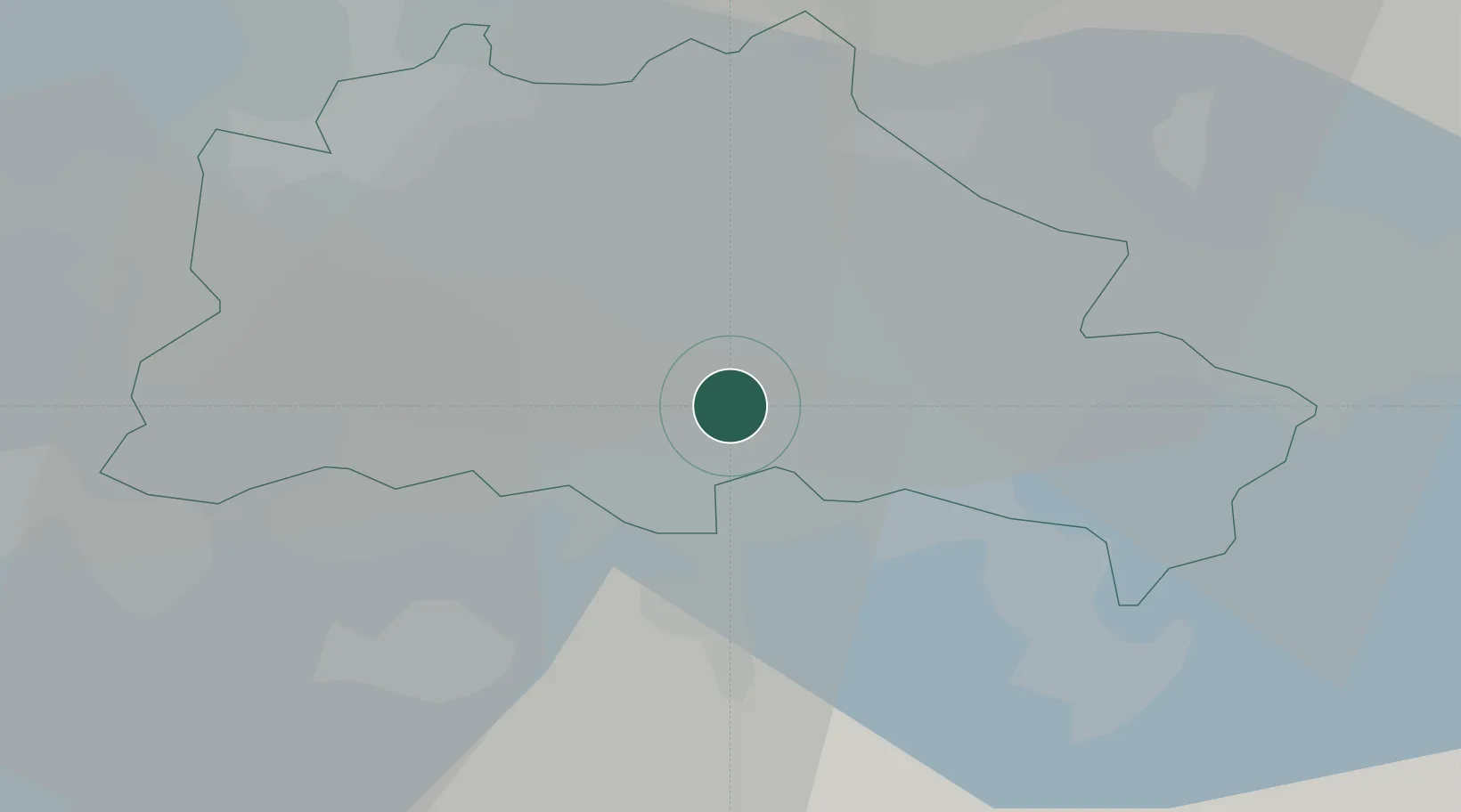
Location
Nearby Logistics Neighbours
Cities
- 1Berlin-Tempelhof Apt4 km
- 2Mariendorf4 km
- 3Rudow5 km
- 4Lankwitz6 km
- 5Steglitz8 km
Ports
- 1Szczecin131 km
- 2Police146 km
- 3Swinoujscie172 km
- 4Wolgast179 km
- 5Rostock203 km
Airports
- 1Berlin Brandenburg Airport11 km
- 2Holzdorf Air Base78 km
- 3Zerbst Airfield101 km
- 4Neubrandenburg Trollenhagen Airport128 km
- 5Leipzig/Halle Airport141 km
Trade Zones
- 1Kostrzyń-Słubice SEZ83 km
- 2Szczecin Duty Free Zone132 km
- 3Swinoujscie Duty Free Zone170 km
- 4Legnica SEZ (Legnicka SSE)215 km
- 5Most - Joseph Industrial Zone219 km
DatabookThe Record of Consolidated Knowledge
Germany beyond logistics?