Transport Functions
Rail
Road
Airport
Hub Profile
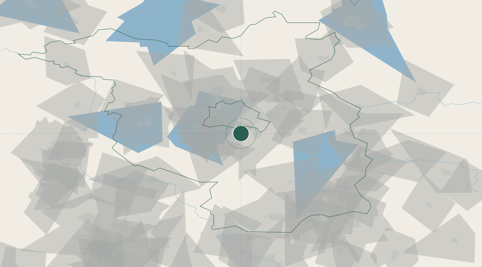
Place type
Populated place
Region
Brandenburg
Population
356
Time zone
Europe/Berlin
Elevation
40 m
Location
Nearby Logistics Neighbours
Cities
- 1Blankenfelde-Mahlow5 km
- 2Mahlow6 km
- 3Rangsdorf6 km
- 4Berlin-Schönefeld Apt7 km
- 5Mittenwalde9 km
Ports
- 1Szczecin141 km
- 2Police156 km
- 3Swinoujscie184 km
- 4Wolgast192 km
- 5Rostock216 km
Airports
- 1Berlin Brandenburg Airport4 km
- 2Holzdorf Air Base66 km
- 3Zerbst Airfield97 km
- 4Leipzig/Halle Airport132 km
- 5Dresden Airport135 km
Trade Zones
- 1Kostrzyń-Słubice SEZ85 km
- 2Szczecin Duty Free Zone142 km
- 3Swinoujscie Duty Free Zone182 km
- 4Most - Joseph Industrial Zone206 km
- 5Legnica SEZ (Legnicka SSE)206 km
DatabookThe Record of Consolidated Knowledge
Germany beyond logistics?