Transport Functions
Port
Rail
Road
Hub Profile
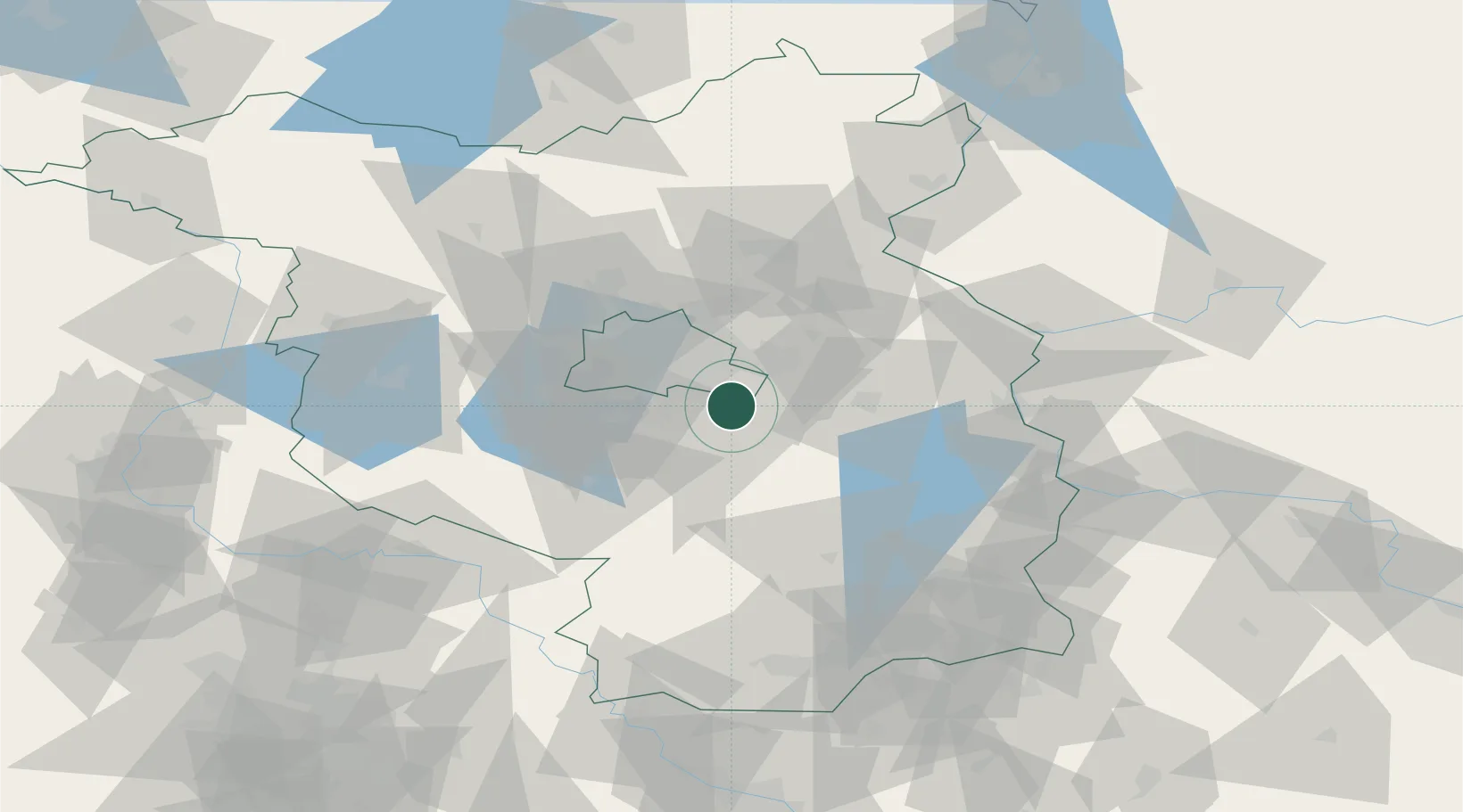
Place type
Local administrative seat
Region
Brandenburg
Population
10,084
Time zone
Europe/Berlin
Elevation
39 m
Location
Nearby Logistics Neighbours
Cities
- 1Wildau4 km
- 2Königs Wusterhausen5 km
- 3Zernsdorf7 km
- 4Berlin-Schönefeld Apt9 km
- 5Zeesen9 km
Ports
- 1Szczecin134 km
- 2Police149 km
- 3Swinoujscie179 km
- 4Wolgast189 km
- 5Rostock219 km
Airports
- 1Berlin Brandenburg Airport9 km
- 2Holzdorf Air Base72 km
- 3Zerbst Airfield108 km
- 4Dresden Airport136 km
- 5Neubrandenburg Trollenhagen Airport141 km
Trade Zones
- 1Kostrzyń-Słubice SEZ74 km
- 2Szczecin Duty Free Zone135 km
- 3Swinoujscie Duty Free Zone177 km
- 4Legnica SEZ (Legnicka SSE)198 km
- 5Most - Joseph Industrial Zone207 km
DatabookThe Record of Consolidated Knowledge
Germany beyond logistics?