Transport Functions
Rail
Road
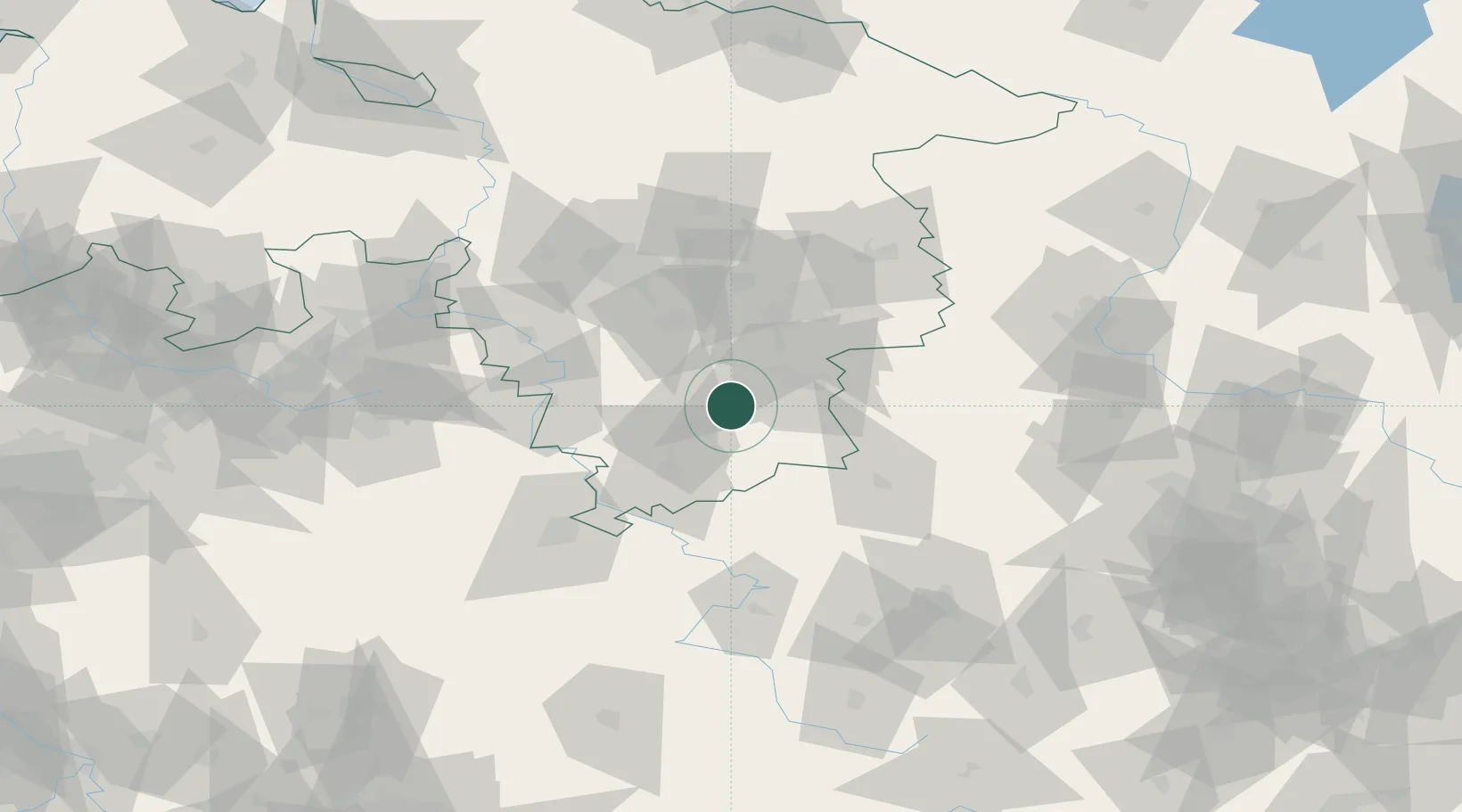
Hub Profile
Place type
Populated place
Region
Hesse
Population
8,346
Time zone
Europe/Berlin
Elevation
209 m
Location
Nearby Logistics Neighbours
Cities
- 1Seesen9 km
- 2Osterode am Harz9 km
- 3Bad Gandersheim12 km
- 4Kreiensen16 km
- 5Katlenburg-Duhm16 km
Airports
- 1Braunschweig-Wolfsburg Airport61 km
- 2Kassel Airport70 km
- 3Hannover Airport79 km
- 4Celle Army Airfield87 km
- 5Wunstorf Air Base88 km
Trade Zones
DatabookThe Record of Consolidated Knowledge
Germany beyond logistics?