Transport Functions
Multimodal
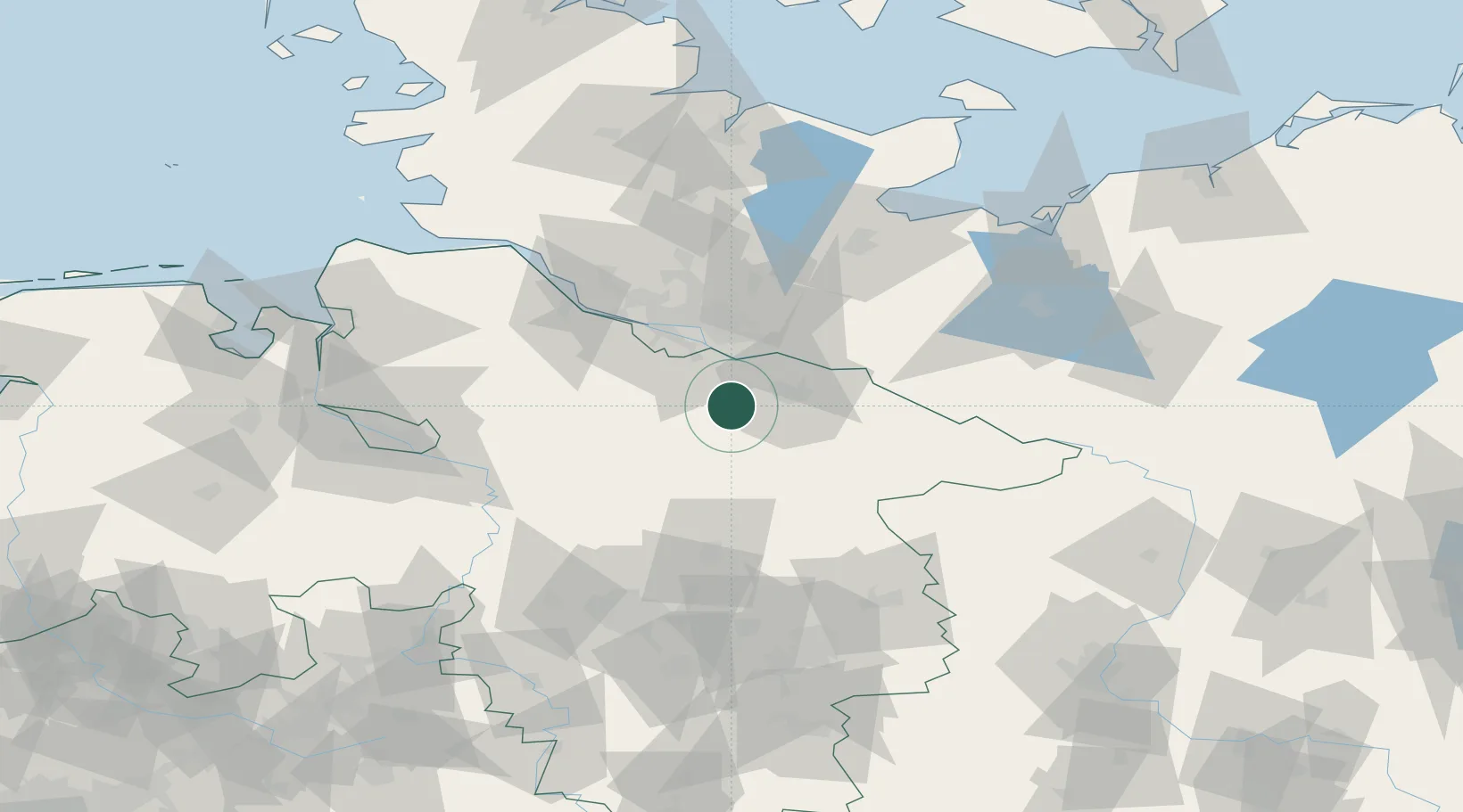
Hub Profile
Place type
Local administrative seat
Region
Lower Saxony
Population
4,406
Time zone
Europe/Berlin
Elevation
44 m
Location
Nearby Logistics Neighbours
Cities
- 1Soderstorf8 km
- 2Egestorf8 km
- 3Mechtersen12 km
- 4Brackel13 km
- 5Radbruch14 km
Ports
- 1Hamburg40 km
- 2Butzfleth65 km
- 3Gluckstadt80 km
- 4Lubeck82 km
- 5Itzehoe89 km
Airports
- 1Faßberg Air Base33 km
- 2Hamburg-Finkenwerder Airport42 km
- 3Hamburg Helmut Schmidt Airport48 km
- 4Uetersen-Heist Airfield57 km
- 5Celle Army Airfield70 km
Trade Zones
DatabookThe Record of Consolidated Knowledge
Germany beyond logistics?