Transport Functions
Port
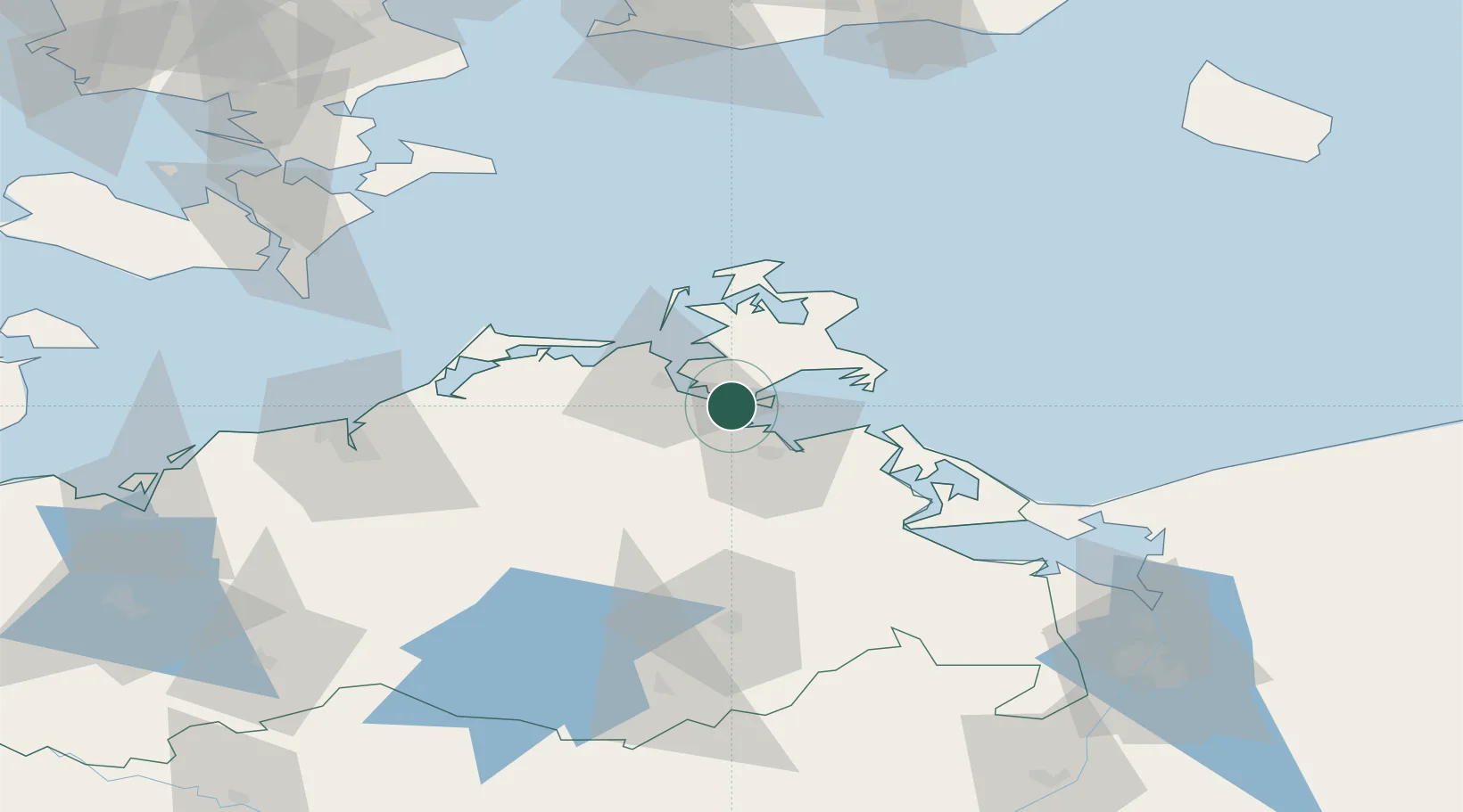
Hub Profile
Place type
Populated place
Region
Mecklenburg-Vorpommern
Time zone
Europe/Berlin
Elevation
7 m
Location
Nearby Logistics Neighbours
Ports
- 1Stralsund15 km
- 2Wolgast38 km
- 3Sassnitz40 km
- 4Swinoujscie73 km
- 5Rostock76 km
Airports
Trade Zones
- 1Swinoujscie Duty Free Zone75 km
- 2Szczecin Duty Free Zone124 km
- 3MTS Malmö Transport and Spedition153 km
- 4Freeport of Copenhagen- Nordhavn170 km
- 5Freeport of Kiel202 km
DatabookThe Record of Consolidated Knowledge
Germany beyond logistics?