Transport Functions
Rail
Road
Hub Profile
Region
TH
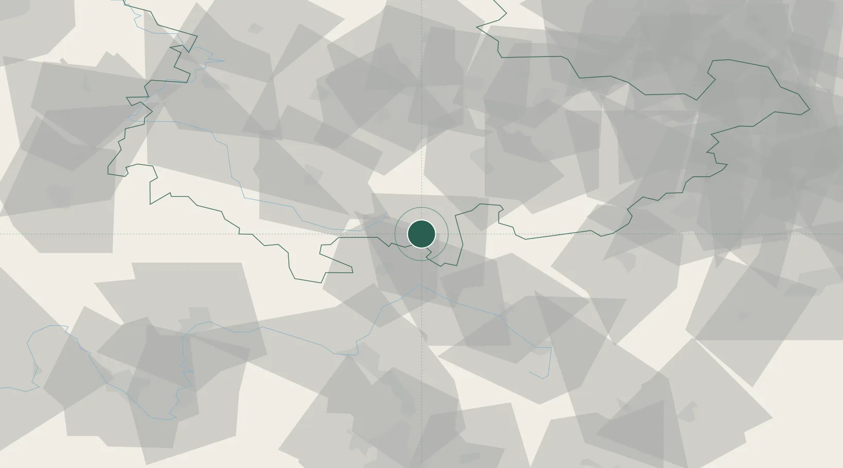
Location
Nearby Logistics Neighbours
Cities
- 1Rauenstein5 km
- 2Steinach5 km
- 3Lauscha8 km
- 4Schalkau8 km
- 5Weidhausen10 km
Airports
- 1Hof-Plauen Airport54 km
- 2Bamberg-Breitenau Airfield55 km
- 3Bayreuth Airport59 km
- 4Erfurt-Weimar Airport65 km
- 5Eisenach-Kindel Airport80 km
Trade Zones
DatabookThe Record of Consolidated Knowledge
Germany beyond logistics?