Transport Functions
Rail
Road
Hub Profile
Region
SN
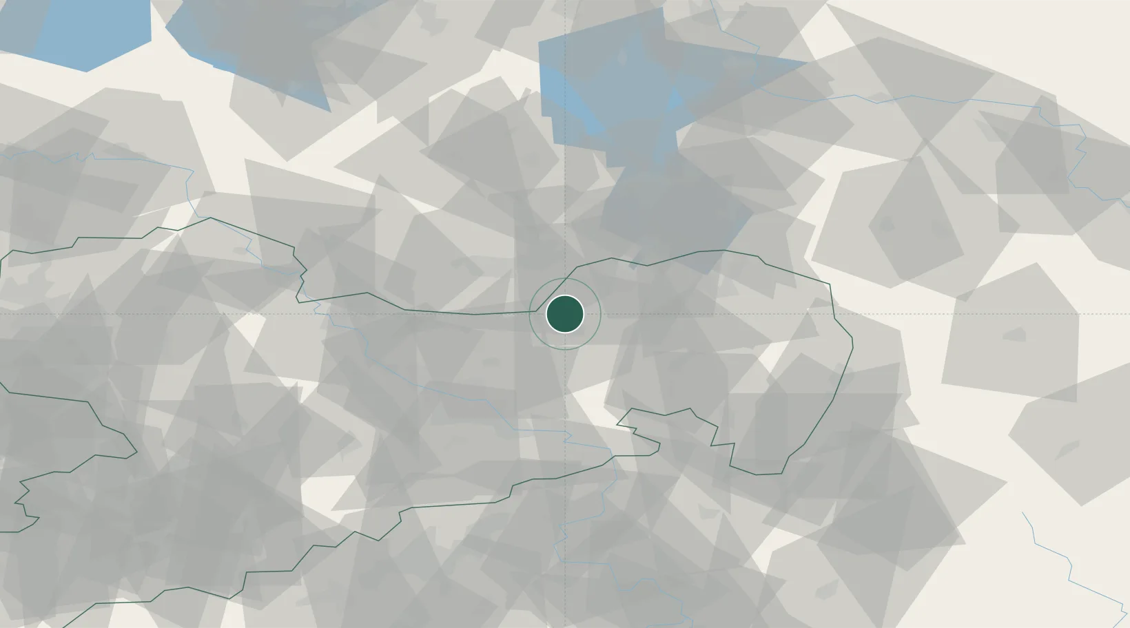
Location
Nearby Logistics Neighbours
Cities
- 1Hohenbocka10 km
- 2Gelenau11 km
- 3Guteborn12 km
- 4Wittichenau13 km
- 5Grosskoschen17 km
Ports
- 1Szczecin232 km
- 2Police249 km
- 3Swinoujscie286 km
- 4Wolgast301 km
- 5Rostock332 km
Airports
- 1Dresden Airport32 km
- 2Rothenburg/Görlitz Airfield61 km
- 3Holzdorf Air Base78 km
- 4Leipzig–Altenburg Airport116 km
- 5Berlin Brandenburg Airport119 km
Trade Zones
DatabookThe Record of Consolidated Knowledge
Germany beyond logistics?