Transport Functions
Multimodal
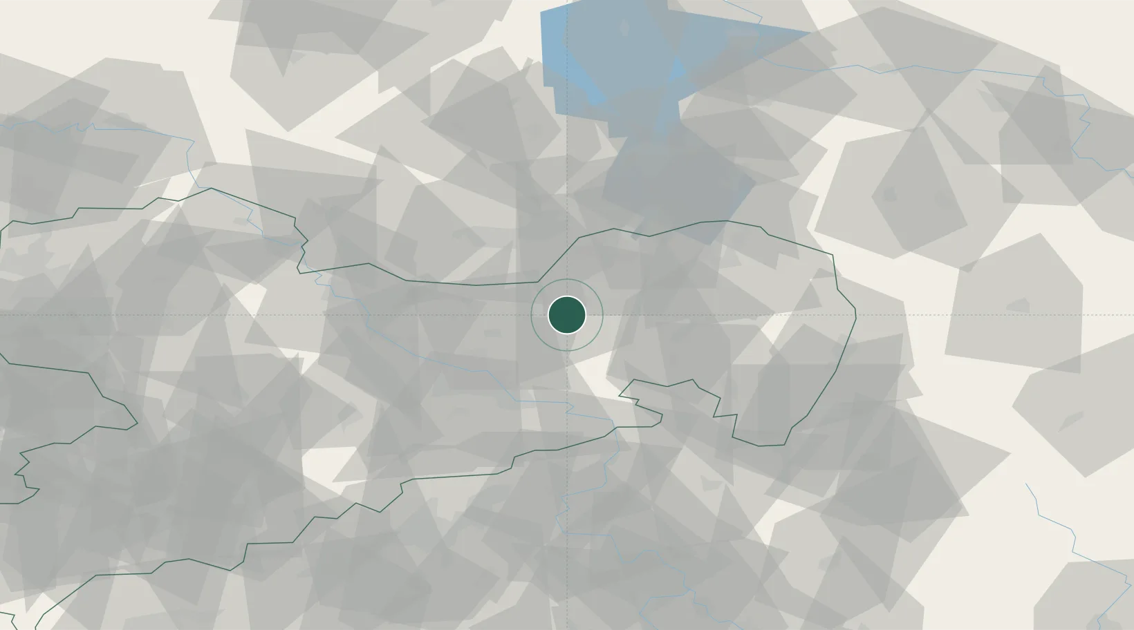
Hub Profile
Place type
Populated place
Region
Saxony
Time zone
Europe/Berlin
Elevation
212 m
Location
Nearby Logistics Neighbours
Cities
- 1Pulsnitz8 km
- 2Strassgräbchen11 km
- 3Laussnitz13 km
- 4Wachau15 km
- 5Ottendorf-Okrilla18 km
Ports
- 1Szczecin243 km
- 2Police260 km
- 3Swinoujscie297 km
- 4Wolgast312 km
- 5Rostock343 km
Airports
- 1Dresden Airport25 km
- 2Rothenburg/Görlitz Airfield63 km
- 3Holzdorf Air Base85 km
- 4Leipzig–Altenburg Airport113 km
- 5Vodochody Airport117 km
Trade Zones
- 1Most - Joseph Industrial Zone90 km
- 2Žatec - Triangle Strategic Industrial Zone103 km
- 3Podbořany Industrial Zone123 km
- 4Legnica SEZ (Legnicka SSE)130 km
- 5Kamienna Góra146 km
DatabookThe Record of Consolidated Knowledge
Germany beyond logistics?