Transport Functions
Road
Multimodal
Hub Profile
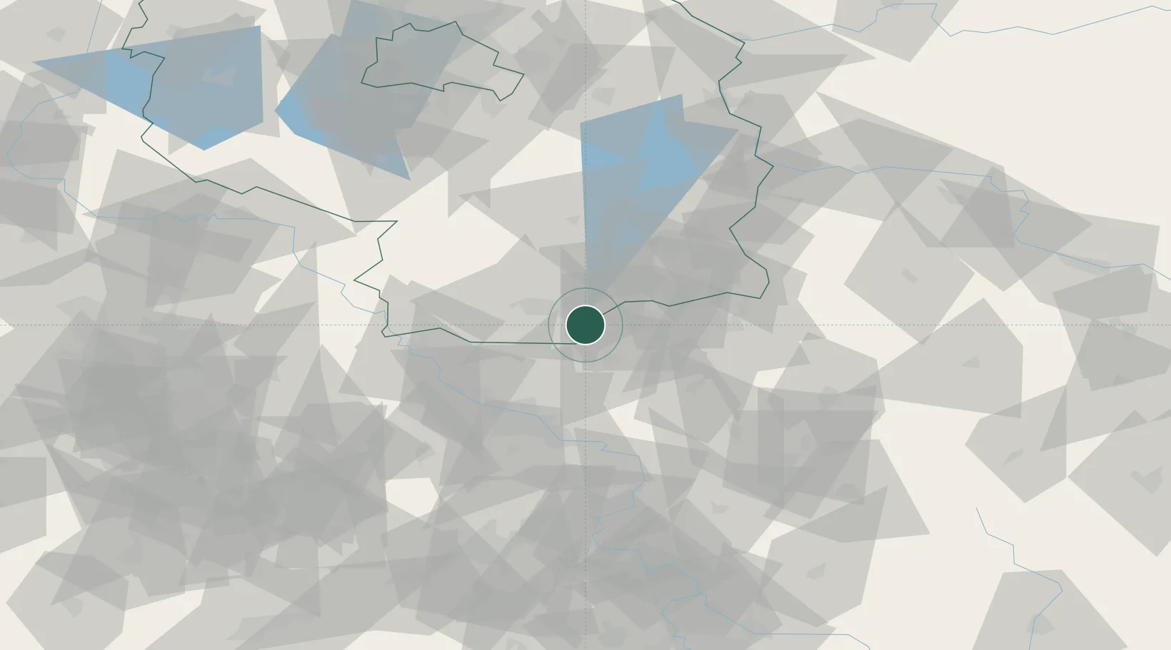
Place type
Local administrative seat
Region
Brandenburg
Population
1,192
Time zone
Europe/Berlin
Elevation
131 m
Location
Nearby Logistics Neighbours
Cities
- 1Guteborn5 km
- 2Grosskoschen8 km
- 3Senftenberg9 km
- 4Ruhland10 km
- 5Strassgräbchen10 km
Ports
- 1Szczecin224 km
- 2Police240 km
- 3Swinoujscie277 km
- 4Wolgast291 km
- 5Rostock322 km
Airports
- 1Dresden Airport37 km
- 2Rothenburg/Görlitz Airfield66 km
- 3Holzdorf Air Base69 km
- 4Berlin Brandenburg Airport109 km
- 5Leipzig–Altenburg Airport116 km
Trade Zones
DatabookThe Record of Consolidated Knowledge
Germany beyond logistics?