Transport Functions
Port
Rail
Road
Hub Profile
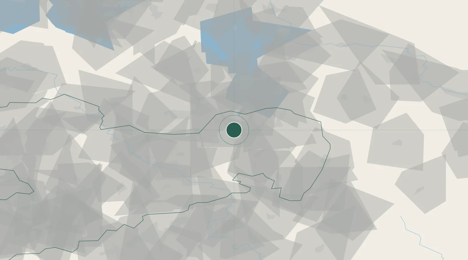
Place type
Populated place
Region
Saxony
Population
6,261
Time zone
Europe/Berlin
Elevation
126 m
Location
Nearby Logistics Neighbours
Cities
- 1Strassgräbchen13 km
- 2Schwarze Pumpe18 km
- 3Hohenbocka18 km
- 4Schwarzadler19 km
- 5Grosskoschen19 km
Ports
- 1Szczecin227 km
- 2Police244 km
- 3Swinoujscie282 km
- 4Wolgast298 km
- 5Kolobrzeg327 km
Airports
- 1Dresden Airport44 km
- 2Rothenburg/Görlitz Airfield49 km
- 3Holzdorf Air Base86 km
- 4Berlin Brandenburg Airport120 km
- 5Leipzig–Altenburg Airport130 km
Trade Zones
- 1Most - Joseph Industrial Zone109 km
- 2Legnica SEZ (Legnicka SSE)118 km
- 3Žatec - Triangle Strategic Industrial Zone121 km
- 4Kostrzyń-Słubice SEZ138 km
- 5Kamienna Góra141 km
DatabookThe Record of Consolidated Knowledge
Germany beyond logistics?