Transport Functions
Port
Rail
Road
Hub Profile
Place type
Local administrative seat
Region
Saxony
Population
2,021
Time zone
Europe/Berlin
Elevation
137 m
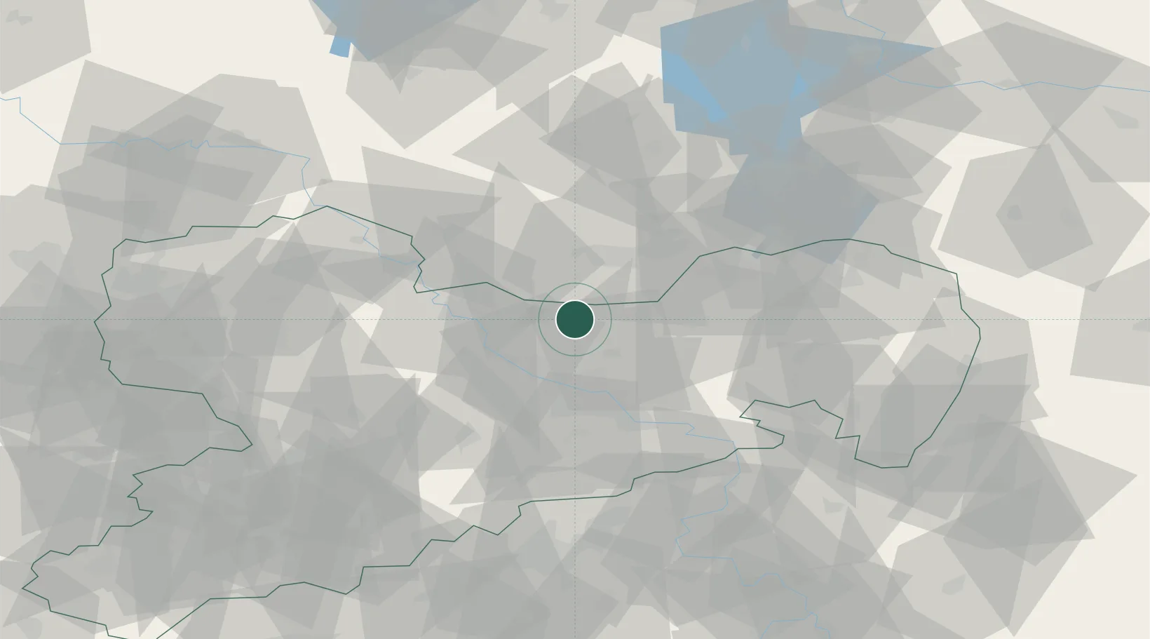
Location
Nearby Logistics Neighbours
Cities
- 1Lampertswalde2 km
- 2Radeburg9 km
- 3Ortrand9 km
- 4Laussnitz14 km
- 5Ottendorf-Okrilla16 km
Ports
- 1Szczecin242 km
- 2Police259 km
- 3Swinoujscie294 km
- 4Wolgast306 km
- 5Wismar326 km
Airports
- 1Dresden Airport19 km
- 2Holzdorf Air Base64 km
- 3Rothenburg/Görlitz Airfield87 km
- 4Leipzig–Altenburg Airport91 km
- 5Leipzig/Halle Airport103 km
Trade Zones
DatabookThe Record of Consolidated Knowledge
Germany beyond logistics?